

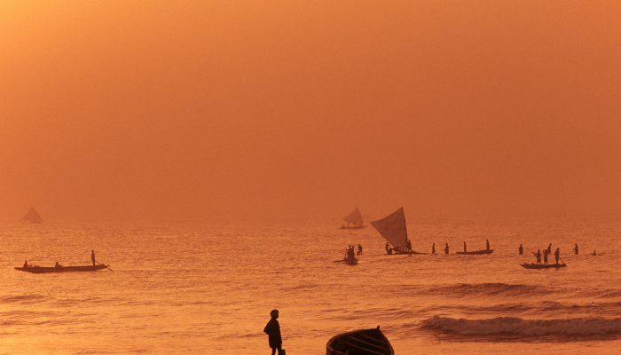
13 Important Bay Of Bengal Facts
Bays are relatively small water bodies connected to large seas, oceans or lakes. Also known as sound, bight or gulf, they are categorised based on their shape, size and process of formation. The mightiest are carved by plate tectonics, and others form due to river erosion or the melting of glaciers.
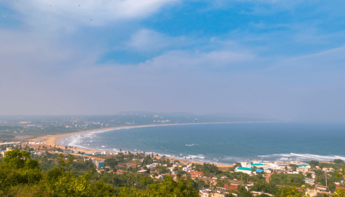
Bay Of Bengal is the northeastern arm of the Indian Ocean and its second-biggest sub-division after the Arabian Sea. The bay plays a crucial role in the economies of the countries surrounding it. India is the biggest beneficiary, bordering the Bay of Bengal on its eastern coastline consisting of States like West Bengal, Andhra Pradesh, Tamil Nadu and Odisha. Sri Lanka surrounds the Bay from the west, Bangladesh on the northern side while Myanmar and the Malay Peninsula enclose it from the east.
The Bay of Bengal is a treasure trove, possessing unique features, hiding secret phenomena, diverse marine environments and much more. Described below are some of its fascinating facts.
1. Known as the Largest Bay on the Planet
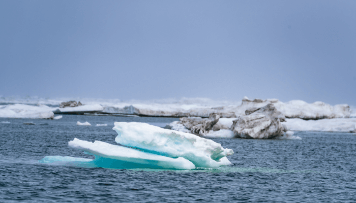
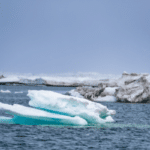
The Bay of Bengal is an enormous water body with a total surface area amounting to 2,600,000 square kilometres. It is 1000 miles or 1610 km wide at its broadest point and its maximum length is 2,088.9 kilometres. Possessing considerably deep waters, it has a depth of 15,400 ft or 4,694 m while its average water depth is around 2600 m or 8530 ft.
The surface layer of the Bay is less saline as it receives freshwater continuously from rains and river inflows. Normally, surface salinity can be as low as 31 to 33 parts per thousand. The intermediate layer is oxygen-deficient and contains salty water due to poor circulation.
2. Formed 120 million years ago as a result of the Gondwana split
The earth was being reshaped during the Cretaceous period which began 145 million years ago. The large landmass or supercontinent called Gondwana broke into smaller pieces giving birth to varied topographical forms. The formation of the Bay of Bengal can be traced to this era which also witnessed the end of dinosaurs.
Around 130 million years ago, rapid plate tectonic movements separated India and Antarctica from Gondwana. The split in the crust occurred along a rift, between eastern India and eastern Antarctica.
As the newly born islands drifted apart from each other over the years, continuous lava eruptions on both sides of the rift led to deposition and solidification, eventually leading to the birth of the Enderby Basin and the Bay of Bengal. Further volcanic activity near Burma pressured the Indo-Australian Plate, deepening the spreading centre of the Bengal Basin and forming a new ocean crust.
3. Home to the largest mangroves and the longest beach in the World
Sundarbans are the largest mangrove forests on the earth, lying in the delta region at the mouth of the Ganges and Brahmaputra in the Indian State of West Bengal and neighbouring Bangladesh.
The swampy habitat houses the biggest tiger population in the world, the Royal Bengal tiger. The marshy islands also act as a cyclone barrier and protect the inland settlements from strong winds and tsunamis. They are a source of livelihood for millions of people dependent on natural resources like timber and seafood.
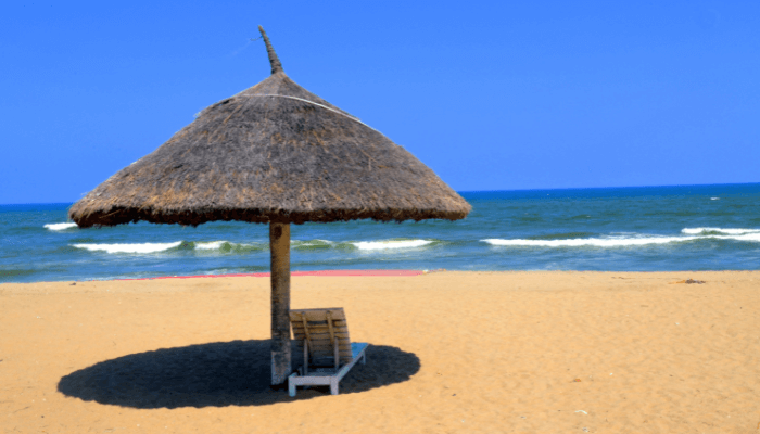
Cox’s Bazar Beach is the longest natural beach lying in southeastern Bangladesh, close to the city of Chittagong. Spanning 120 kilometres, it is the most famous tourist destination in the country, a commercial, fisheries and an administration centre.
Cox Bazar area was ruled by Arakan kings in ancient times however Mughals defeated the former in the late 16th century. Prince Shah Shuja, son of Emperor Shah Jahan and Mumtaz Mahal governed the territory which came to be known as Dulahazara, after the Prince’s 100 palanquins that once camped at the coast.
Later, the region went into Portuguese and then British control, named after a company official called Hiram Cox who became the first superintendent of the present-day Cox Bazar district.
4. One of the world’s biggest marine ecosystems
The earth has 64 large marine ecosystems and the Bay of Bengal is one of them. One of the most productive natural ecosystems on the planet, it contains expansive forest cover, waterways, coral reefs, estuaries, deltas and serves as a breeding ground for numerous animal and fish species.
Native to the waters is the Kerilia Jerdonii or the sea snake which is also a part of Hindu Mythology. Many wildlife sanctuaries and biosphere reserves are located along its shores housing endangered species like the Olive ridley and leatherback turtles. A beautiful seashell called Glory of Bengal Cone can be found on the Bay of Bengal beaches, the most famous being the Digha Beach in West Bengal.
Marine animals like barracudas, whales, yellowfin tuna, marlin, and skipjack tuna are found in open waters. The shallow coastal reefs and lagoons bordering the coast are homes to the hogfish. Around 70 species of phytoplankton and numerous types of algae can be found along with schools of bottle-nose, pacific humpback and spotted dolphins. The famous Irrawaddy dolphins reside in the warmer coastal waters of the Bay.
5. Multiple rivers drain into the Bay of Bengal
Important rivers of India and Bangladesh flow into the Bay of Bengal. One such is the river Ganga which originates from the Gomukh mountains or the Gangotri in the north and enters Bangladesh where it is known as the Padma. It drains into the Bay of Bengal after joining the Meghna river.
The 28th longest river on earth, Brahmaputra originates in Tibet and flows through Assam. It drains into the Bay after entering Bangladesh as the Jamuna river. A tributary of the Ganga, Hooghly traverses Kolkata before flowing into the Bay.
Other west to east flowing rivers like Mahanadi, Godavari, Krishna and Kaveri cross Peninsular India to form deltas before flowing into the Bay of Bengal. Estuaries are formed by smaller rivers such as the Cooum.
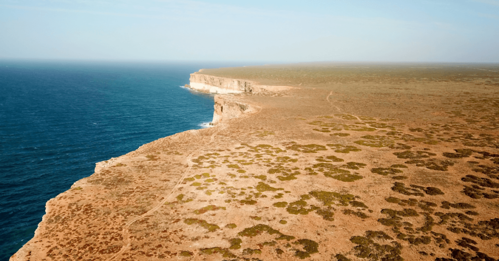
6. It has several island groups, some with active volcanoes
The prominent island groups in the Bay of Bengal include the Andaman and Nicobar, an Indian Union territory comprising 572 islands of which only 37 or 6.5 per cent are inhabited by native tribes like the Sentinelese people who live an isolated life. Great Andaman is the biggest archipelago while Ritchie’s chain of islands is comparatively smaller.
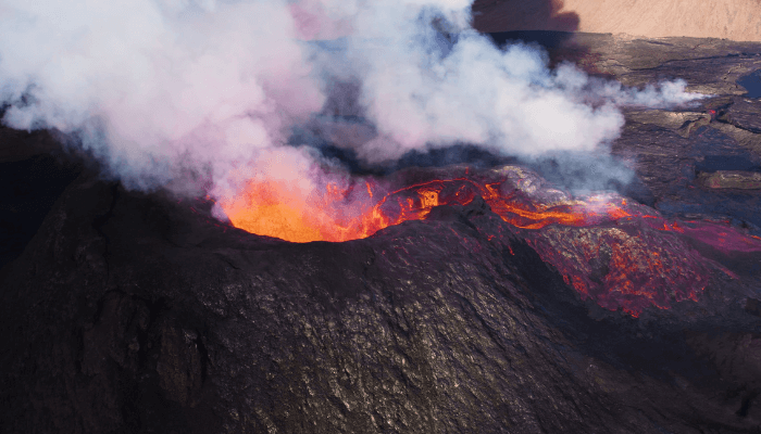
The Mergui Archipelago lies in southern Myanmar and contains over 800 island groups floating in the Andaman sea near the western coast of the Malay Peninsula. Situated off the northeastern Burmese coast are the Cheduba islands known for their mud volcanoes, some of which are still active.
7. Experiences a monsoon type climate and deadly cyclones
During the winter months from November to April, a high-pressure system develops in the northern part of the Bay of Bengal, leading to the emergence of northwest monsoons which hit Andaman and Nicobar in May and states like Kerala and Tamil Nadu in June. From July till September i.e the summer season, southwest winds bring showers in coastal areas.
Tropical cyclones are formed in the Bay of Bengal in summer and the post-monsoon months from October to December. Around 5 to 6 cyclones emerge every year, out of which 2 can turn deadly and reach a severe stage, bringing strong winds, lashing rains, floods and even tsunamis to the eastern coast of India.
The 1970 Bhola Cyclone, the Nilam cyclone of 2012 and the 1991 Bangladesh cyclone were some of the deadliest natural disasters which killed thousands of people.
8. Bay of Bengal has enormous hydrocarbon resources
Significant petroleum and natural gas reserves have been discovered in the Bay of Bengal, close to the Mahanadi-Godavari deltas. The Bay’s geological structure is similar to the Indus basin and Peninsular India. The abundance of hydrocarbon resources is attributed to the deposition of over 100 million tonnes of sediment by rivers each year leading to greater carbon accumulation on the deep seabed.
Titanium deposits are found on the northeastern coast of Sri Lanka. The famous Ratna Dweep or Serendib is the gem island rich in amethyst, rubies, sapphires, topaz and beryl. Minerals and mineral sands like ilmenite, sillimanite, rutile, manganite etc are found in Nagapattinam and regions near Visakhapatnam. Odisha and Andhra Pradesh have large deposits of precious stones like garnet.
9. Considered an important Geostrategic Gateway
The Bay of Bengal plays a vital role in global geopolitics due to its strategic geographical location in Southeast Asia. It is central to the regional organisations, ASEAN and SAARC, created to forge cooperation in trade, security, economic and cultural matters.
Bangladesh, India and China have signed several naval agreements with Malaysia, Indonesia and Thailand for preventing terrorism and piracy in the Bay’s waters.
However, emerging powers like India and China have always contested to show their predominance in the region. The past few years witnessed a change in India’s approach to continental issues. Maritime matters were taken seriously to counter Chinese attempts of dominating the Bay of Bengal region.
BIMSTEC is an international organisation of seven South Asian States bordering the Bay of Bengal. It supports the existence of a free trade regime in the area while focussing on the tourism sector. It is estimated that tourism around the Bay of Bengal can generate a revenue of about 200 billion dollars.
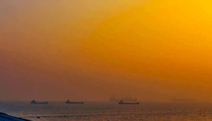
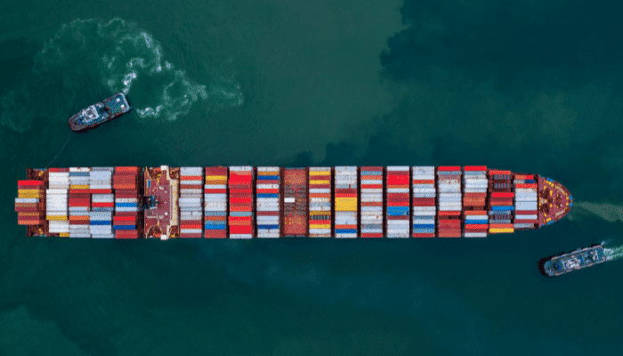
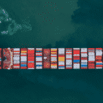
10. Bay of Bengal coastline is dotted with more than 16 major ports
Major shipping lanes connect the Bay of Bengal region with the Persian Gulf and the Mediterranean Sea, Africa, Europe and the Americas. Chittagong is the largest port of Bangladesh while Akyab or Sittwe is the main seaport of Myanmar.
Port of Chennai is the largest artificial harbour on the Bay of Bengal coast. It was established by the British and emerged as a major container port of India in the post-independence era. It is the primary reason for the growth of the manufacturing sector and the development of Chennai as the maritime gateway of South India. It has numerous wet docks that handle containers, automobiles and project cargo. More than 60 million tonnes of cargo pass through the Chennai port, directly linked to over 50 major ports worldwide.
Another important regional port is Haldia, located in the state of West Bengal. It serves the industrial hinterland and is a principal port of Kolkata, handling over 40 million tonnes of cargo annually. It has 12 berths, three oil jetties and three piers for barges. Major exports include coal, iron ores and steel while petroleum and chemicals comprise the main import commodities.
11. Mentioned in ancient maritime manuals of sailors and mediaeval manuscripts
An ancient text dated between the first and third centuries AD named Periplus of the Erythraean Sea describes the flourishing maritime trade between the Roman, Middle Eastern, African and Indian seaports along the Arabian Sea and the Bay of Bengal.
Even Ptolemy describes in detail, the voyages from the Bay of Bengal to the Persian Gulf. These descriptions confirm the presence of lucrative trade in the region, dating back thousands of years. However, Europeans began colonising the area after Vasco Da Gama reached Calicut in 1498.
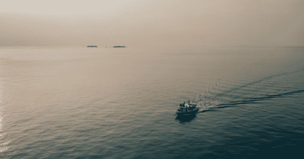
12. Site of numerous Shipwrecks
Some call the Bay of Bengal another Bermuda triangle, given its triangular shape and the many ships that lie submerged in its deep waters. In 1850, an American clipper called Brig Eagle sank in the Bay of Bengal, carrying Baptist missionaries to India. Typhoons and cyclones swallowed the Bark and the Euterpe in 1875.
SS Automedon was a refrigerated cargo steamer that was bombed by the German navy in 1940. It sank subsequently along the northern coast of Sumatra. Other ships like HMS Hermes and SS Indus sank due to bomb attacks during the World War. In 1971, PNS Ghazi, a Pakistani Submarine, sank near Visakhapatnam for unknown reasons.
13. Supports a highly profitable fisheries Sector
More than six million tonnes of seafood including shrimp, crabs, prawns, tuna and small fish are caught in its waters, comprising seven percent of the global fisheries production. However, overexploitation has led to serious environmental issues like declining catch, changes in the ecosystem, marine pollution etc that requires international cooperation. Also, inefficient fisheries management by bordering nations has endangered many fish species.
You might also like to read:
- 11 Important Facts About The Sea Of Japan
- 7 Major Ports on Hudson Bay
- 10 Amazing Facts about Baltic Sea
- 10 Interesting Facts About The Tasman Sea
- 10 Interesting Facts About The Straits Of Gibraltar
Disclaimer: The authors’ views expressed in this article do not necessarily reflect the views of Marine Insight. Data and charts, if used, in the article have been sourced from available information and have not been authenticated by any statutory authority. The author and Marine Insight do not claim it to be accurate nor accept any responsibility for the same. The views constitute only the opinions and do not constitute any guidelines or recommendations on any course of action to be followed by the reader.
The article or images cannot be reproduced, copied, shared, or used in any form without the permission of the author and Marine Insight.
Do you have info to share with us ? Suggest a correction
Latest Maritime Knowledge Articles You Would Like:


Subscribe To Our Newsletters
By subscribing, you agree to our Privacy Policy and may receive occasional deal communications; you can unsubscribe anytime.
Web Stories


About Author
Zahra is an alumna of Miranda House, University of Delhi. She is an avid writer, possessing immaculate research and editing skills. Author of several academic papers, she has also worked as a freelance writer, producing many technical, creative and marketing pieces. A true aesthete at heart, she loves books a little more than anything else.