

Helping Marine Travel: Nautical Charts
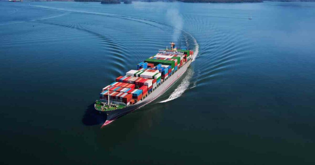
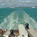
Nautical charts, as the name suggests, are charts or maps that are used for maritime navigation. As much important as maps are in routine road transport, nautical maps are equally important in marine navigation.
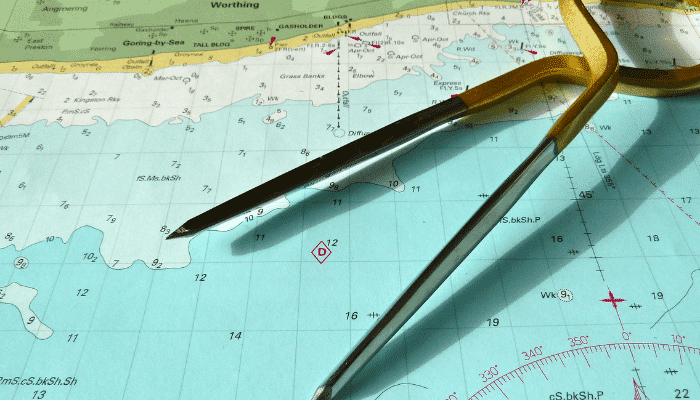
As navigational maps have to aid ship’s captain and crew, nautical maps are drawn graphically with utmost precision. This process of map drawing is known as cartography. The information that is provided in nautical maps consists of the geography of a particular water area, the depth of the water in that area, the route navigating information and the level of tides and currents in that particular waters.
Information is also provided about the presence of any bridges or constructions in the water along with the deviations about the magnetic field of the Earth that tend to occur on water.
Nautical maps can be of two types:
- The traditional nautical charts drawn on paper
- The modern nautical maps that are created on computers (Digital or electronic maps)
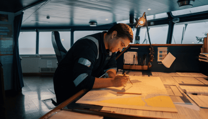
In today’s times, most nautical maps are being created digitally with the help of computers. However, in case the electronic equipments fail, the traditional nautical charts are used simultaneously in order to avoid any unwanted problems that could arise in the absence of digital nautical maps.
Nautical maps are drawn on the basis of studies done on water areas. This is why sometimes it can so happen that there could be some errors on the chart. Such errors can be corrected appropriately but the usage of such error-filled charts should not be considered for future reference.
Also it is important that nautical charts are drawn and updated on a regular basis by the concerned authority. This will ensure that the captain of the ship will not have any problems when it comes to navigating the ship on tricky and unpredictable waters.
The extent of the area depicted depends on the size of a navigational chart. This means that if the size of the chart is bigger, the information about a larger water area can be shown which will benefit the captain of the ship. Smaller charts will reduce the water area depicted leading to a lot of unwanted complications for the ship’s captain.
There are different sources that offer nautical charts to seamen. Some well-known sources are TeamSurv, Marine GeoGarage and BlooSee. The navigational maps created by these sources are quite reliable and efficient.
Sea navigation is never perfect. The routes can be tracked completely but by using help like the nautical charts, the imperfect can be converted into being absolutely perfect.
Do you have info to share with us ? Suggest a correction
Latest Marine Navigation Articles You Would Like:


Subscribe To Our Newsletters
By subscribing, you agree to our Privacy Policy and may receive occasional deal communications; you can unsubscribe anytime.