12 Siberian Sea Facts You Must Know
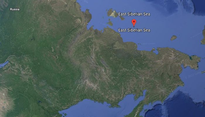
The Siberian Sea is a part of the Arctic Ocean. It lies between the Arctic Cape towards the north and the Siberian coast towards the south. From the west, it is enclosed by the New Siberian islands, whereas the Wrangel island wraps around it from the east.
One of the least researched water bodies, the Siberian Sea, is connected to the Laptev Sea through the Dmitrya Lapteva, Sannikov and Eterikan Straits. From the eastern side, Long Strait links it to the Chukchi Sea.
While most of us know about the great seas and oceans, we are unaware of the Siberian Sea. Read along to know some interesting facts about the Siberian Sea.
1. Siberian Sea is the shallowest sea along Russia’s northern route.
The Siberian Sea covers an area of 361,000 square miles or 936,000 square kilometres and is surrounded by ice for most of the year. Roughly 70% of the sea has a water depth of lesser than 50 metres and a mean depth of only 52 m.
Its greatest depth is around 150 m which is present in its northeastern parts. The sea is as shallow as 30 to 65 ft or 9 to 20 metres in the western and central regions.
The seabed is characterised by deep water trenches, which were once flourishing ancient river valleys but later got submerged under the seawater.
2. Siberian Sea is characterised by low water salinity.
The salinity levels at the surface level increase from the southwest towards the northeast. During winter and spring, the salinity is 4 to 5% ppt near the mouths of Kolyma and Indigirka river deltas.
It rises to 29 to 30% towards the centre of the sea and reaches 31 and 32% in the northern part of the sea.
Salinity levels reduce in summer by 5% as snow melts and freshwater enters the sea. It also decreases by 6% from the seabed to the water surface.
3. The Sea was officially named in 1935 by the Soviet Union.
The Siberian Sea, or the East Siberian Sea, was known by many names such as Indigirskoe, Ledovitoe meaning icy, Sibirskoe, Kolymskoe and Severnoe or northern by the different tribes that inhabited the region in the medieval period.
The sea got its official name, ‘the East Siberian Sea’, in 1935 from the erstwhile Soviet Government on 27th June 1935.
4. Siberian Sea has a polar climate influenced by the Atlantic and Pacific Oceans.
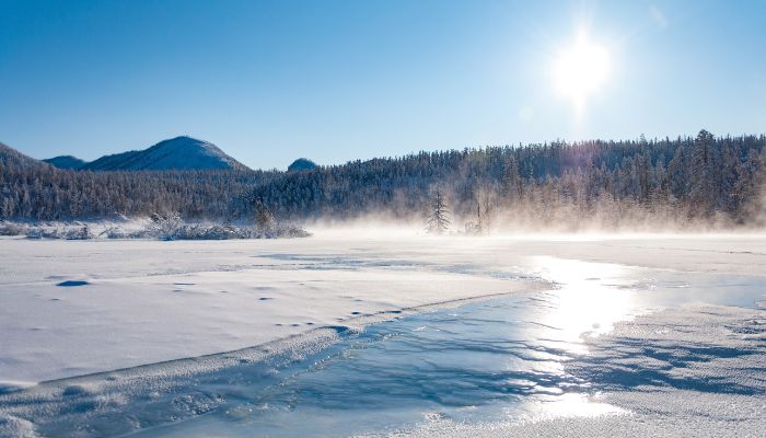
The Siberian sea has a polar climate largely affected by the continent, the Atlantic and the Pacific. In winter, the southerly winds blowing at speeds of around 25 km/h bring cold air from the Siberian region, leading to a temperature drop to as low as -30 degrees Celsius in January.
The skies are clear and stable; however, there are occasional cyclones and storms. The cyclones from the Atlantic lead to strong winds, while the ones originating in the Pacific bring blizzards, dense clouds and powerful rain and storms.
In summer, the winds blow from the north and weaken in June to strengthen again in July. Hence, making the western part of the Siberian sea one of the most turbulent and dangerous waters on the north coast of Russia.
The southeastern part of the sea is relatively calm, and the northerly winds lead to a temperature drop of about 0 to 1 degree Celsius. The sky is cloudy, and there are frequent drizzles or light snow sometimes.
The coastal areas have fog for about 90-100 days of the year. Rainfall is low, approximately 100-200 mm annually.
5. The Siberian Sea coast has a long history of human habitation and seafaring.
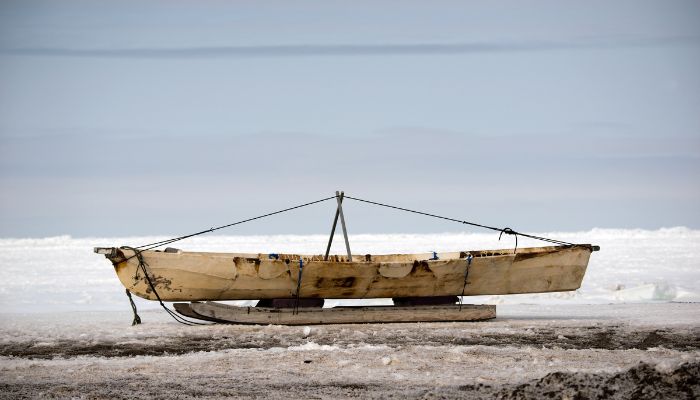
The native communities of north Siberia, like Yukaghirs and Chukchi, have lived on the Siberian coasts since times immemorial. They obtained food through fishing, hunting for animals and engaging in reindeer husbandry.
The Evens and Evenks people came to the coastal region in the 2nd century, and between the 9th and the 15th centuries, Yakuts populated the area. These people settled here to avoid conflicts with the Mongols.
Russian seafarers dominated the sea in the 17th century. It was explored and mapped from the 18th to the 19th centuries. In 1648, Fedot Alekseev and Semyon Dezhnev traversed the sea from Kolyma to the Anadyr river.
6. Ambarchik settlement near the sea was used as a prisoner camp in the 1930s
Around the 1930s, Ambarchik, lying in the Kolyma delta, was a labour camp from where prisoners were sent to other camps in the north. Prisoners at the coastal settlement constructed port infrastructure and unloaded the visiting ships.
As water levels decreased, shipping was concentrated to the Chersky in the lower reaches. Hence, both the port and the settlement were abandoned by people who went to live in downstream villages and towns. Today, Ambarchik does not hold prisoners and has been converted into a meteorological station operated by some staff members.
Two labour camps were opened in the Gulag system close to Pevek. They were the Chaunlag, and the Chaunchukotlag and both had about 10,000 prisoners employed in the mines and other construction works.
7. Many rivers flow into the Siberian Sea, enriching it with nutrients.
Rivers, such as the Alazeya, Ujandina, Kolyma, Chukochya, Chaun, Indigirika, Rauchua and Pegtymel, drain into the Siberian Sea. However, only a few rivers are navigable, the total catchment area is about 1,342,000 square kilometres, and the coastline is 3016 kilometres long.
Most rivers make deep bends and stretch deep inland giving rise to a different topography in the eastern and western regions. Smooth bends can be found only in the deltas of some rivers. For instance, the coastal area lying amidst the New Siberian islands and the Kolyma is uniform and smooth with low-lying slopes.
It stretches inwards towards the marshy tundra lands with several small lakes and ponds. The eastern coast towards the Kolyma has steep cliffs and mountains.
8. Scarce flora and fauna due to the harsh temperatures
Few species of plants and animals can survive the rough weather conditions of the Siberian Sea. However, it is famous for its summer plankton bloom dominated by pacific copepods. It produces around five million tonnes of plankton in August and September. The seawater has enough nutrients provided by the discharge of rivers and erosion.
The icy shores are home to ringed seals, walruses, bearded seals, polar bears and birds like the uria and seagulls. Mammals like the majestic bowhead whales, belugas, narwhal and grey whales also thrive in the waters.
Fish like the grayling, muksun, whitefish, saffron and polar cod, arctic char etc., are abundant.
9. Pevek is the principal port in the region.
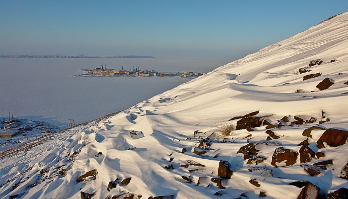
There are two major port facilities in the Siberian Sea. Pevek port lies on the Chaunskaya inlet of the Siberian Sea in the Chukchi district. It handles fuel, timber, logs, containers, packed food, consumer products, machinery and coal. Items like ores, tin, concrete and metal scrap are exported to neighbouring places. The port is operational from August to September.
Ambarchik bay, once a prisoner camp and port, now lies desolate. It is not a commercial port; however, the people of Yakutia use it. The shallow bay on the Kolyma gulf lies in the Sakha republic, one of the coldest places on earth. It has an old port and a polar station near the bay’s coast.
10. Siberian Sea has a few islands and gulfs.
The Siberian Sea has no islands in its waters, but a few are located nearby. These include the Medvyzehi islands and the Ayon islands. There are some important bays, such as the Chaunskaya bay, the Kolyma bay and the Kolyma Gulf.
11. Gold Mines were found close to Leningradsky and Pevek but were abolished.
Gold mines were found close to the settlements of Leningradsky and Pevek, but they were closed before they even became profitable. The tin mines were also opened, but they were shut down in the 1990s as they led to an increase in population. For the same reason, the Logashkino settlement, a famous Siberian port, was closed in 1998.
Main industrial activities include mining and navigation in the northern sea route. Fishing is not commercially developed; however, it has local importance. Hunting wild animals for personal use is another traditional activity.
The largest settlement in the Sea is Pevek, the northernmost city of Russia, which houses a little over five thousand people.
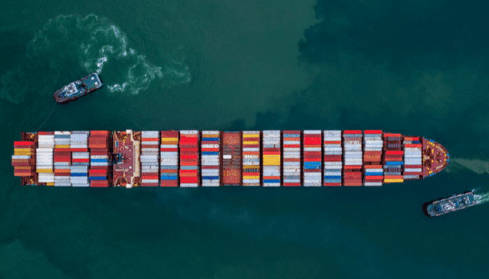
12. Many ship accidents occur in the Siberian Sea.
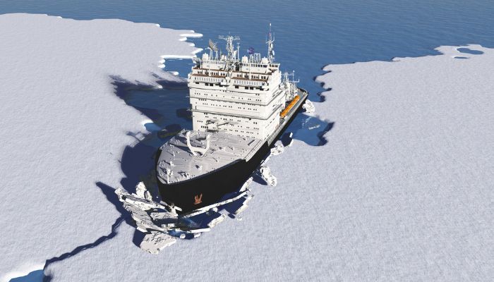
Per studies, the Siberian Sea is the most dangerous to navigate in the Arctic ocean. Though the risks of ship accidents differ across the Arctic and the northern sea route waters, most accidents occur in this sea.
The Siberian Sea is used to transport goods along the northern Russian coast from August to September. Navigation is difficult in summer due to winds bringing floating ice pieces to the southern shores.
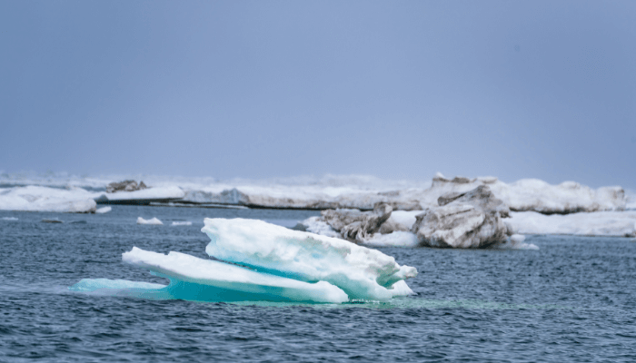
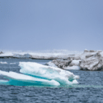
Ships crossing the sea and destined for the Laptev seaports, New Siberian islands, or the Wrangel island can collide with each other, sink, or even run aground due to the severe ice, especially the faster build-up of ice at the end of summer months.
You may also like to read-
- 10 Marine Biome Facts You Must Know
- 15 Amazing Facts About Coral Reefs
- 10 Azov Sea Facts You Might Not Know
- 8 Ways Cruise Ships Can Cause Marine Pollution
- 10 Famous Coral Reefs In The World
Disclaimer: The authors’ views expressed in this article do not necessarily reflect the views of Marine Insight. Data and charts, if used in the article, have been sourced from available information and have not been authenticated by any statutory authority. The author and Marine Insight do not claim it to be accurate nor accept any responsibility for the same. The views constitute only the opinions and do not constitute any guidelines or recommendations on any course of action to be followed by the reader.
Do you have info to share with us ? Suggest a correction
Latest Maritime Knowledge Articles You Would Like:
Subscribe To Our Newsletters
By subscribing, you agree to our Privacy Policy and may receive occasional deal communications; you can unsubscribe anytime.
Web Stories

About Author
Zahra is an alumna of Miranda House, University of Delhi. She is an avid writer, possessing immaculate research and editing skills. Author of several academic papers, she has also worked as a freelance writer, producing many technical, creative and marketing pieces. A true aesthete at heart, she loves books a little more than anything else.


