

7 Amazing Makassar Strait Facts
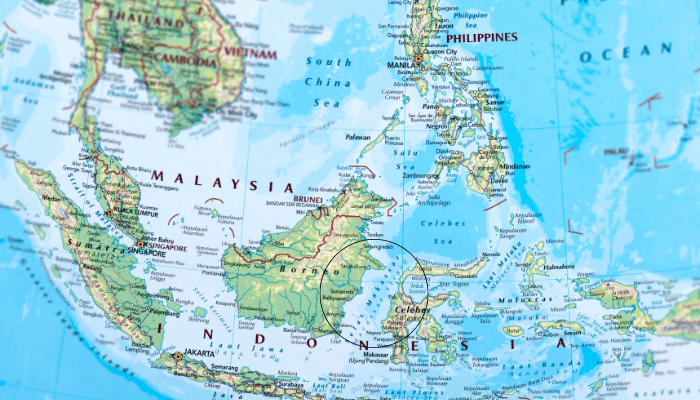
The Makassar Strait, also called the Indonesian Selat Makassar and the Macassar Strait, is a narrow passageway on the west-central Pacific Ocean. It is situated between the islands of Borneo and Sulawesi in Indonesia.
It joins the Celebes Sea to the north and meets the Java Sea to the south. Towards the northeast, it forms the Sangkulirang Bay. The Mahakam and Karangan Rivers empty into the strait.
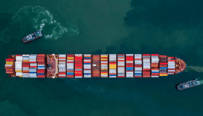
It is a strategic waterway and a key shipping route.
Discussed in this article are 7 major facts about the Makassar Strait.
1. Extent of the Makassar Strait
The strait extends 500 miles or 800 km northeast-southwest from the Celebes Sea to the Java Sea. It passes between Borneo on the west and Celebes on the east. The strait’s width varies from approximately 80 to 230 miles or 130 to 370 km.
The International Hydrographic Organisation defines the strait as a part of the East Indian Archipelago waters. Its limits were defined by IHO as the channel between Sulawesi’s west coast, earlier called Celebes, and the eastern coast of Borneo.
The strait is limited to the north by a line which connects Tanjong Mangkalihat in Borneo and the Cape Rivers. On the south, it is bounded by a line from the southwestern end of the Celebes, passing through the southern point of Tana Keke to the south end of Laoet before it goes to the island’s western coast to Tanjong Kiwi, ultimately across to Tanjong Petang in Borneo at the southern end of Laoet Strait.
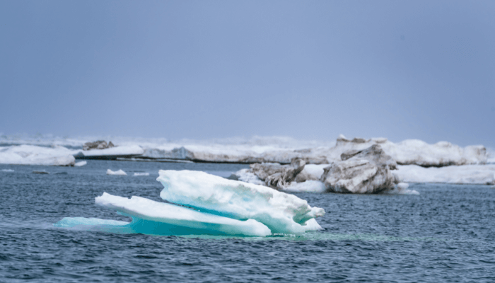
2. High Marine Biodiversity
The Makassar Strait is rich in marine biodiversity and is a major migration route for many species. Per studies, it is home to over 700 fish species, including mackerel, grouper, tuna, and reef fish. The whale shark also feeds on the abundantly available small fish and plankton in the strait’s waters.
The strait also attracts spinner dolphins and melon-headed whales. Humpbacks migrate here seasonally, and hawksbill, leatherback, and green turtles live there.
Various hard and soft corals form vital reef habitats. More than 250 coral species are found in the Makassar Strait. Mangrove forests along the coast offer nursery areas for shellfish, crustaceans and other fish. Extensive Seagrass meadows support sea turtles and dugongs.
3. Fishing is a major economic activity
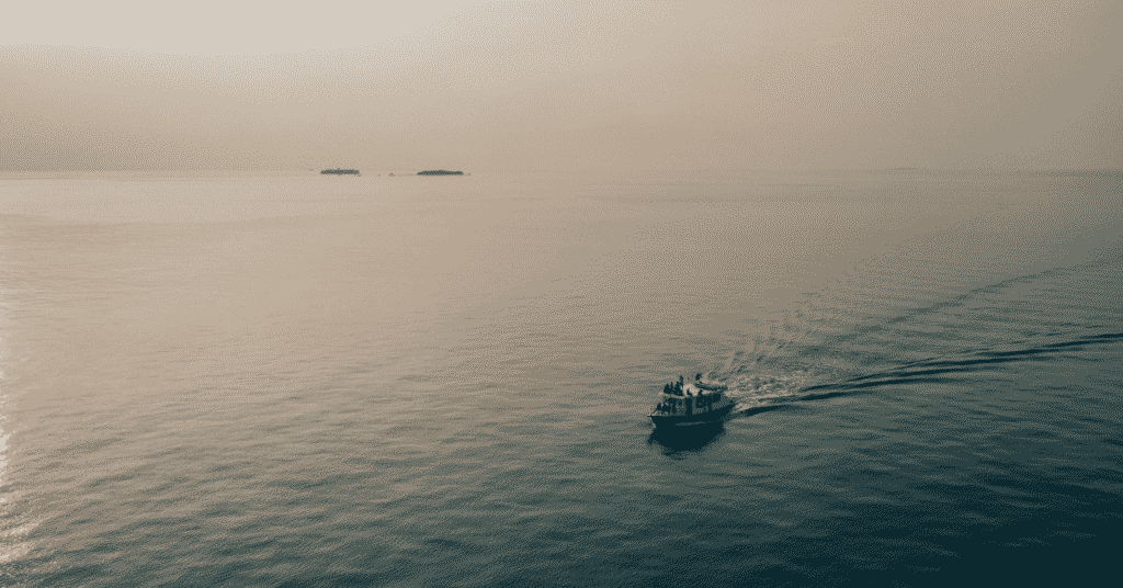
Thousands of fishermen depend on fishing in the Makassar Strait waters for their livelihood. The coastal communities still use traditional methods of fishing. The fish caught is consumed by the families, and the excess is sold in local markets for some additional income.
The typical catch includes tuna, mackerel, shrimp, crab, and squid. Skipjack and yellowfin tuna make up the bulk of the catch.
Prominent fishing ports along the Makassar Strait lie in South Sulawesi and East Kalimantan. Near these facilities lie factories and fish processing units.
The total annual revenue from fishing in the Makassar Strait is more than one billion dollars. Tuna catches alone amount to hundreds of millions for Indonesia. Most tuna is exported to Japan, Europe, and the U.S.
Though fisheries constitute a significant resource, overfishing and pollution have depleted fish stocks, particularly of species such as groupers.
Another concern is the bycatch of endangered species like green turtles and sharks. Hence, marine protected areas are being established, and efforts are being made to deal with these issues effectively.
4. Has a tropical climate
The region has an average temperature of 27.5 °C with almost no extreme variation due to its location. The average high is about 32.5 °C, and the average low is around 22.5 °C throughout the year.
Rainfall is high, with the annual average being 2000 to 3000 mm. The weather is warm and humid, with air temperatures between 26-32°C.
The Makassar Strait’s water is warm and comfortable, with average temperatures of 28-30°C. It is warm even during winter, so many people flock here for a perfect holiday. Visibility in the water ranges from 30 to 100 feet.
Strong tidal currents, some with speeds of over four knots, exist in the strait. These currents are caused by the mixing of waters from the Java, Flores, and Banda Seas.
Seasonal monsoon winds also influence weather. Southeast trade winds blow from December to March. Northwest Monsoon winds prevail from June to September.
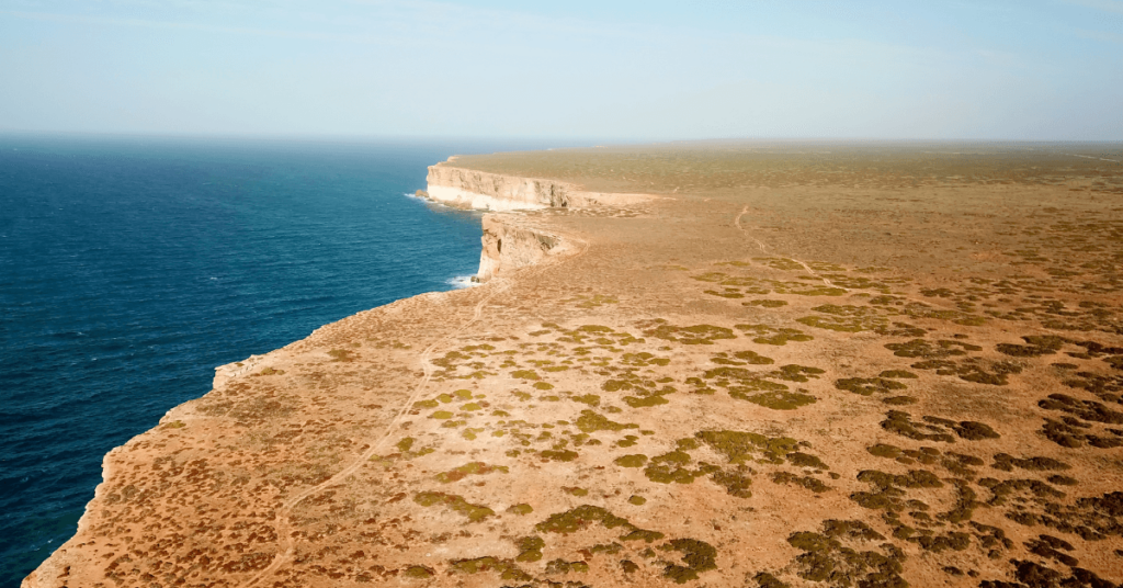
5. Laut and Sebuku Islands are the largest in the Makassar Strait
Laut Island lies off the southeastern coast of Borneo in the Makassar Strait. It is 100 km long from north to south and 30 km wide from east to west. The island covers an area of 2062 square kilometres. It is low-lying and flat; however, in the northeast, hills rise to around 800 m. Most of the island is dotted with coconut palms, mangrove trees and sago. It has a hot and humid climate with a rainfall of 150 inches between November and May.
The majority of people on the island are engaged in producing spices, especially pepper and rubber, which are cultivated in plantations. Coal mining is also important; coal, copra and pepper are the principal export items. The Port of Kotabaru on the island’s northern end is linked via roadways with Karambu on the west coast.
6. Balikpapan is the main settlement along the strait
Balikpapan is a major bay and seaport in East Kalimantan, Indonesia. It is on the eastern coast of Indonesian Borneo, facing the Makassar Strait. It is the site of an oil refinery that processes crude oils.
It was a fishing village that was developed in the 19th century. Oil drilling began here in 1897. Two years later, the Dutch East Indies colonial administration gave it the status of a township.
In 1907, Bataafsche Petroleum Maatschappij made it its headquarters and brought engineers and other skilled labourers from abroad to the settlement. Many MNCs came here and invested in the oil industry, leading to an economic boom.
During the Second World War, Japan occupied it, and the Allies also bombed it in the first Balikpapan battle in 1942 and another battle in 1945.
Oil fields have been operating here since 1899. Some lie in the coastal region around 100 km northeast. The refinery was destroyed in 1942 during the Second World War, but it was rebuilt after the war ended.
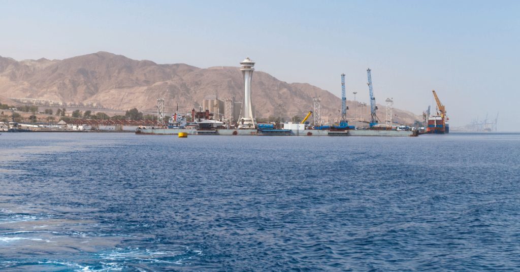
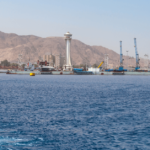
7. Has many important ports and harbours
Bontang Port is located in the Makassar Strait on the east coast of Kalimantan Island. It is a major LPG and LNG export terminal. Kaltim Fertiliser Harbour is north of the LNG facility and handles liquid ammonia, general cargo, and urea.
Balikpapan has a massive oil refinery and is an oil tanker port. It also deals with general cargo, forest products, scrap iron and rattan. Additionally, it has a coal terminal at Tanjung Makassar with a deep approach channel.

Approximately 34,500,000 tonnes of cargo, 93,000 TEU and 6,000 vessels are handled annually here.
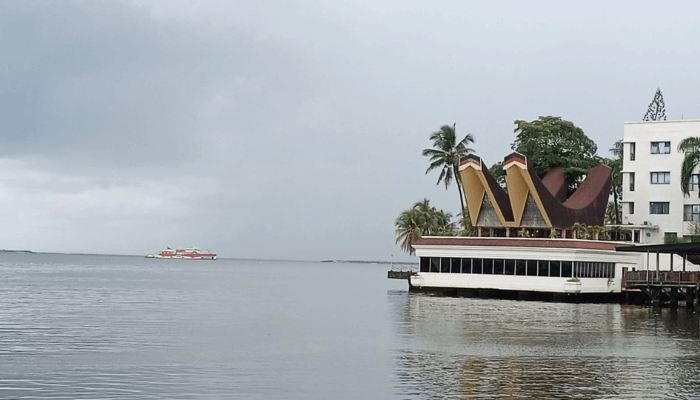
Makassar is one of the leading Indonesian ports. It lies on the southwest coast of Sulawesi Island and serves Ujung Pandanf, the capital of south Sulawesi province. It is well-sheltered and exports rubber, spices, coffee, shells, gum, wood, rattan, tripang and copra.
Major imports include cotton, woollens, glassware, wine, spirits, hardware, and tobacco. Around 9,681,800 tonnes of cargo and 302,000 TEU are handled annually.
Pare-Pare lies on the west coast of Sulawesi. It is a busy port open to international trade, cruise lines, and the export of cereals, rice, coffee, and livestock. It handles around 976,000 tonnes of cargo, 2,800 TEUs, and 1,000 vessels annually.
You might also like to read-
- 10 Biggest Straits Of The World
- 10 Largest Estuaries In The World
- 15 Biggest Wooden Ships Ever Built
- 15 Interesting Facts About The Bermuda Triangle
- 10 Major Gulfs In North America
Disclaimer :
The information contained in this website is for general information purposes only. While we endeavour to keep the information up to date and correct, we make no representations or warranties of any kind, express or implied, about the completeness, accuracy, reliability, suitability or availability with respect to the website or the information, products, services, or related graphics contained on the website for any purpose. Any reliance you place on such information is therefore strictly at your own risk.
In no event will we be liable for any loss or damage including without limitation, indirect or consequential loss or damage, or any loss or damage whatsoever arising from loss of data or profits arising out of, or in connection with, the use of this website.
Do you have info to share with us ? Suggest a correction
Disclaimer :
The information contained in this website is for general information purposes only. While we endeavour to keep the information up to date and correct, we make no representations or warranties of any kind, express or implied, about the completeness, accuracy, reliability, suitability or availability with respect to the website or the information, products, services, or related graphics contained on the website for any purpose. Any reliance you place on such information is therefore strictly at your own risk.
In no event will we be liable for any loss or damage including without limitation, indirect or consequential loss or damage, or any loss or damage whatsoever arising from loss of data or profits arising out of, or in connection with, the use of this website.

About Author
Zahra is an alumna of Miranda House, University of Delhi. She is an avid writer, possessing immaculate research and editing skills. Author of several academic papers, she has also worked as a freelance writer, producing many technical, creative and marketing pieces. A true aesthete at heart, she loves books a little more than anything else.
Latest Maritime Knowledge Articles You Would Like:


Subscribe To Our Newsletters
By subscribing, you agree to our Privacy Policy and may receive occasional deal communications; you can unsubscribe anytime.