10 Gulf Of Carpentaria Facts You Must Know
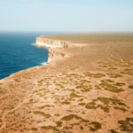
The Gulf of Carpentaria is a rectangular sea in the northern part of Australia. It is an expansive yet shallow water body surrounded by the Arafura Sea, which separates Australia and New Guinea.
It is around 800 km from the city of Darwin and is quite close to Papua New Guinea and the island country of Indonesia.
The region to the south of it has the Cape York Peninsula and is popularly called the Gulf Country. Additionally, this region is known for its woodlands as well.
The Cape York Peninsula is located in Queensland and contains the biggest savanna woodlands in the world, known as the Carpentaria tropical savanna. The Arnhem land lies on the western side of the Gulf of Carpentaria.
1. Covers 300,000 square kilometres of area.
The Gulf of Carpentaria is 590 kilometres broad at its mouth. Going in the southern direction, it is around 675 kilometres wide. It stretches 700 km from the north to the south.
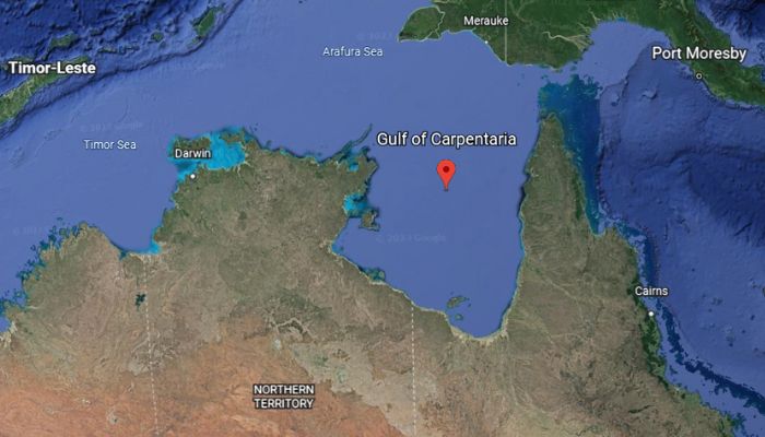
The gulf covers 300,000 km2 of area. Its waters have a depth of 55 to 66 m and are not deeper than 82 m. The tides in the Gulf of Carpentaria range between 2 to 3 m
2. Gulf Of Carpentaria was formed in the Quaternary Period
The Gulf of Carpentaria’s formation is linked to the Quaternary, the last period of the Cenozoic era. We live in this period which is said to have begun 2.58 or 2.6 million years ago.
This period is known for environmental and climatic changes. Around 18,000 years ago, when the last ice age was at its peak, the Gulf of Carpentaria was non-existent. Instead, there was dry land in its place.
Also, the sea level was 120 m lower than it is today. A shallow lake occupied the area where the Carpentaria Gulf lies today.
During this time, the wasters of the Indian and Pacific Oceans were separate. It led to the creation of Carpentaria lake, whose waters flowed into the Arafura Sea.
The Gulf of Carpentaria is considered an epicontinental sea, i.e. a shallow sea on top of a continent.
3. The Gulf of Carpentaria has a hot and humid climate
The Gulf has a hot and humid climate. There are two seasons, the dry and the monsoon.
The summer is quite dry, caused by extremely dry southeast-to-east flowing winds. These are formed as a result of high-pressure systems in the south.
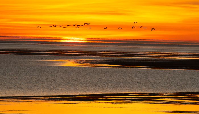
The dry season stretches from April and lasts till November. The rainy season is the one when the Gulf receives maximum rainfall. It lasts from December to March, and during these months, heavy rainfall leads to flooding in several low-lying regions close to the Gulf.
Another feature is tropical cyclones, which are common from November to April. The gulf experiences at least three cyclones annually, which are said to transfer sediments along the coast of the Carpentaria gulf.
4. Gulf of Carpentaria has many beautiful coral reefs.
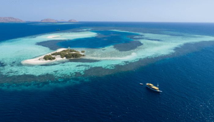
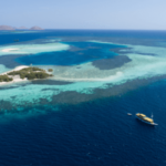
The Gulf of Carpentaria has many fringing reefs. Many colonies of corals are also found in certain places. Earlier it was believed that there were only fringing corals but no patch reefs or barrier reefs in the Gulf’s waters.
However, Geoscience Australia conducted research expeditions in 2003 and 2005. Using the RV Southern Surveyor, they found that the underwater coral reef province covered around 300 square kilometres or 120 square miles and lay in the southern part of the Gulf.
They also found patch reefs which were not found earlier. This was because they could not be detected by satellites or aerial photography and were found by multibeam swath sonar.
The team also carried out a sampling of the seabed and made several videos for supplementing further studies. Per researchers, the patch reefs were formed when the climate was cooler than today, and the sea levels were also quite low.
5. Many prominent rivers flow into the Gulf of Carpentaria.
Three major rivers flow into the Carpentaria Gulf. The first is the Roper, a perennial river in the Katherine area of Australia’s Northern Territory. Fifteen tributaries join it when it flows a thousand kilometres and joins the sea on the Gulf of Carpentaria.

Other rivers include the Walker, which forms an estuary at its mouth. The third is Wilton, a tributary of Roper. The indigenous Ngalakgan people traditionally own it.
Many rivers flowing from the Cape York Peninsula also drain into the Gulf. These include the Mitchell river, Smithburne, Alice, Mission, Wenlock, Archer and Staaten rivers.
6. Famous for the serene Marine Park protected by the indigenous tribes
The Gulf of Carpentaria is known not only for its natural beauty and breathtaking views but also for its Marine Park.
This is one of the 8 parks which was under the management of the North Marine Parks Network and has a rich history and cultural heritage.
Interestingly, the gulf was once known as the Gulf of Carpentaria Commonwealth Marine Reserve. It is spread within a considerable area, about 23,771 square kilometres.
The Marine Park is near the Wellesley islands, which is an important area for the tribal people who live there. Some of them include the Yangkaal, Lardil and Gangalidda.
They play an important role in the conservation of the Marine Park and live in harmony with nature.
The Park has diverse terrain ranging from submerged coral reefs to coastal areas and lofty hills.
One of the key species in the Park is turtles, including the endangered green turtles and flatback turtles. Certain areas are restricted so turtles can rest and lay their eggs there. Many seabirds, sea snakes and sharks are also found in closeby waters.
7. Groote Eylandt is the largest island in the Gulf of Carpentaria.
There are many islands in the Gulf of Carpenteria; however, the largest is the Groote Eylandt. It lies 50 km from the Northern Territory and is about 390 miles from Darwin.
The island covers 2,326 square kilometres of area. It is inhabited by the native aboriginal people of Australia, divided into 14 clans. They speak the Anindilyakwa language and value their culture and traditions.
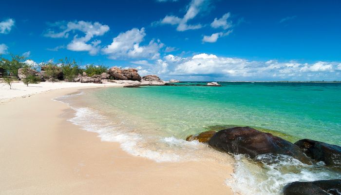
It was only recently that the island opened up to the public for tourism. There is a resort here, and visitors are welcome. The main attractions include the rock art sites of the natives, sports fishing, swimming etc.
Many people come here to have a relaxing weekend and a fishing trip. In the coastal waters, one can find Marlin, Spanish mackerel, queenfish, coral trout, and tuna.
The island is also home to 27 native mammal species. Hence it is one of the most diverse islands in Australia when it comes to wildlife.
It is also rich in manganese. Many mines lie on the western part of the island. Leases were granted to mining company GEMCO which has been operating a large manganese mine on the island since 1964.
8. Explorer Willem Janszoon was the first European to visit the Gulf.
Before the arrival of Europeans, the area around the gulf was inhabited by native Australian tribes who spoke Yulluna and Kayardild languages.
The first European to explore the region was Willem Janszoon. He visited the Gulf of Carpentaria in 1605 and 1606. Later, in 1623, Jan Carstensz also explored the area and named it Carpentaria, after the Dutch East Indies Governor-General Pieter de Carpentier.
The Dutch expeditions between 1605-1628 explored the eastern part. Abel Tasman explored the south and west coasts in 1644. In 1802-03, Matthew Flinders mapped and charted the region around the Gulf.
In 1860, the gulf’s first overland research expedition was headed by Robert O’Hara Burke and William John Wills. It left Melbourne in 1861 and arrived at the Bynoe river mouth the following year in February.
9. The Gulf of Carpentaria is rich in natural resources.
The Gulf region is known for prawn fishing and the availability of zinc, manganese, lead and silver, primarily found in the mine located near the McArthur River. A second zinc mine called Century Zinc is located on the Queensland side of the coast.
Shrimp farming is possible due to the presence of seagrass regions. It developed in the 1960s, and Karumba town in the southeastern part of the gulf is the centre of this industry. Banana prawns are abundant and exported from the gulf to other regions.
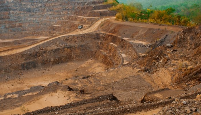
Manganese reserves are found on Groote Eylandt and bauxite deposits at Weipa, situated on the Cape York Peninsula and Gove Peninsula in Arnhem land.
These products are exported through the Karumba port. Apart from these resources, the cattle industry is also important for the local economy.
Due to these advancements, the settlements on the coasts increased as more employment opportunities were available. Also, transportation and communication networks with other parts of Australia and the nearby regions improved.
10. There are seven ports on the Gulf of Carpentaria.
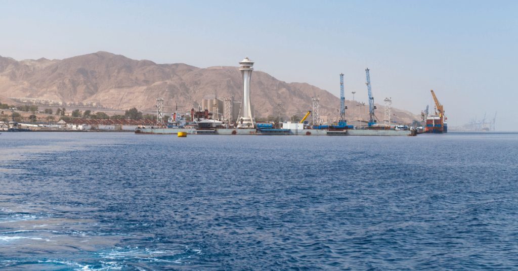
One of the largest port facilities is Milner Bay on Groote Eylandt, Gulf of Carpentaria. It deals with manganese ores and can also accommodate tankers. Provisions like water and electricity are available. The port handles approximately 2,000,000 tonnes of manganese ore annually.
Karumba port lies on the southern coast of Carpentaria Gulf. It is a small riverport on the northeastern coast of river Norman. It has several wharves and storage areas. It can handle general cargo, seafood, petroleum and livestock.
You might also like to read-
- 15 Not-So-Known Facts about the Indian Ocean
- 10 Amazing Facts About The Aral Sea
- 10 Caspian Sea Facts You Must Not Be Aware Of
- 10 Major Facts About Sulu Sea You Must Know
Disclaimer :
The information contained in this website is for general information purposes only. While we endeavour to keep the information up to date and correct, we make no representations or warranties of any kind, express or implied, about the completeness, accuracy, reliability, suitability or availability with respect to the website or the information, products, services, or related graphics contained on the website for any purpose. Any reliance you place on such information is therefore strictly at your own risk.
In no event will we be liable for any loss or damage including without limitation, indirect or consequential loss or damage, or any loss or damage whatsoever arising from loss of data or profits arising out of, or in connection with, the use of this website.
Disclaimer :
The information contained in this website is for general information purposes only. While we endeavour to keep the information up to date and correct, we make no representations or warranties of any kind, express or implied, about the completeness, accuracy, reliability, suitability or availability with respect to the website or the information, products, services, or related graphics contained on the website for any purpose. Any reliance you place on such information is therefore strictly at your own risk.
Do you have info to share with us ? Suggest a correction

About Author
Zahra is an alumna of Miranda House, University of Delhi. She is an avid writer, possessing immaculate research and editing skills. Author of several academic papers, she has also worked as a freelance writer, producing many technical, creative and marketing pieces. A true aesthete at heart, she loves books a little more than anything else.
Latest Maritime Knowledge Articles You Would Like:
Subscribe To Our Newsletters
By subscribing, you agree to our Privacy Policy and may receive occasional deal communications; you can unsubscribe anytime.


