5 Major Ports of Sri Lanka
The island nation of Sri Lanka lies in the Indian Ocean and is surrounded by the Bay of Bengal and the Arabian sea.
Since the 19th and 20th centuries, it has developed as a plantation economy popular for the production of coffee, cinnamon, tea and rubber which are still major export commodities.
The development of ports during British rule furthered its position as a hub of maritime trade in the South Asian region.
Sri Lanka’s main economic sectors are tourism, rice production, textiles, agriculture, telecommunications and food processing. Though the country has plentiful resources, it is trapped in a debt that has restricted infrastructural development.
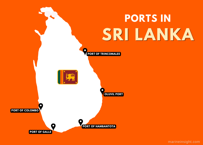
The following are the country’s major ports, some of which are leased to other nations.
1. Port of Colombo
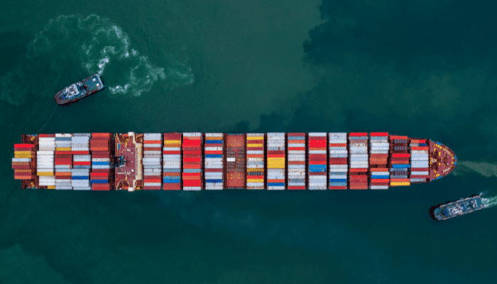
The biggest seaport of Sri Lanka, Colombo port is situated on the country’s southwestern coastline at the mouth of river Kelani Ganga. It ranks among the top 25 ports in the world and is one of the busiest container ports with an annual handling capacity of 7 million TEUs.
More than 60% of the island nation’s international maritime trade passes through this facility. A major Indian Ocean port, it boasts one of the world’s most expansive artificial harbours. Its history goes back to 2000 years when it was a major trading post used by the Romans, Arabs and Chinese merchants.
Situated in the heart of Sri Lanka’s financial and commercial hub, Colombo port houses offices of many banks, insurance and brokerage firms.
Factories processing raw material for exportation purposes are also located near the port which ships sawn timber, rubber, machinery, textiles and manufactured products like jewellery, glass, textiles, furniture and leather goods and receives regular shipments of crude oil, machinery, iron and steel. It is also famous as South Asia’s second tallest skyscraper is close to this facility.
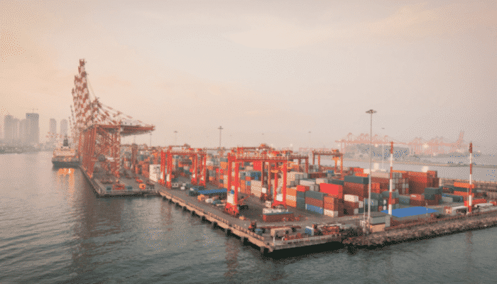
An important transhipment port of South Asia, Colombo handles containers and bulk cargoes originating from and destined to major European countries, East Asia, Africa and the Persian Gulf. The port attained an all-time high container throughput of 7.25 million TEU and registered a 5.84% growth in 2021 compared to 2020 figures, as per the data released by Sri Lanka Port Authority. It also saw 3675 ship arrivals including 3180 container ships in 2021.
Colombo port was modernised and refurbished in 2008 and dredged to a depth of 15 m for accommodating vessels with a deeper draft. The port covers 1200 acres and has 51 berths for handling diverse cargoes except for hazardous substances and perishable goods. It has more than 25 warehouses, a 200 sq m cool room and four major terminal facilities.
Jaya Container Terminals
The port’s two container terminals are situated at the northern and western port entrances. Both the container terminals have a combined operational area of 45.5 hectares comprising four container berths with a total quay length of 1292 m and alongside depths ranging from 12 to 15 m. It also has two feeder berths each covering 350 m. The terminals are equipped with Navis terminal operating Systems and high-tech equipment such as Panamax and super post-Panamax container cranes, rail-mounted cranes etc. It has a stacking capacity for storing 44,000 TEUs of dry containers and 1260 TEU of reefer containers. Its container freight station spans 15,000 sq m.
Unity Container Terminal
Colombo port’s unity terminal covers 1.5 hectares and comprises 2 main berths and a multipurpose berth measuring 590 m with a depth of 10.5 m. It has a stacking capacity of 8000 TEUs.
South Asia Gateway Terminals
This facility covers 20 hectares incorporating three berths measuring 940 m. It has a 12-hectare stacking space, 540 reefer connections with a capacity for 1625 TEUs.
Colombo International Container Terminal
This is the biggest terminal of Colombo port comprising four wharves with a depth of 18 m for accommodating the world’s biggest container ships. It also has a 57-hectare container yard and a well-established feeder network. The international terminal has an annual handling capacity of 2.4 million TEUs.
2. Port of Hambantota
Hambantota port is also known as the Magampura Mahinda Rajapaksha port and is situated in the southern part of Sri Lanka. It is close to the Asian and European maritime trade routes, the Suez Canal and Malacca Strait. More than 39,000 ships and 5000 oil tankers pass through these routes which saves freight costs and reduces sailing time by three days. It is also the country’s most diverse deepwater facility, constructed in 2008 with Chinese financial aid and given to China on a 99-year lease.
The growing congestion at Colombo port was the primary reason for constructing Hambantota. It was also envisaged to solve the country’s logistical problems and offer quick access to the international shipping lanes. The port is being developed in phases but it has led to the emergence of conflict between the Asian powers, India and China since the latter seeks to establish its paramountcy in the Indian Ocean while the former strives to maintain a natural defence area.
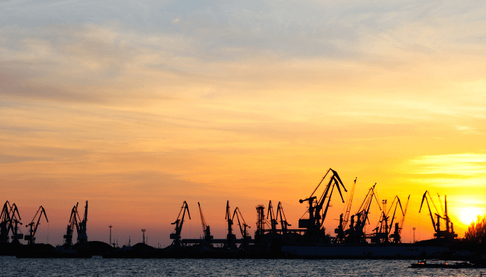
Hambantota’s harbour is protected by two breakwaters covering 312 m and 989 m. The access channel is 210 m wide and 17 m deep for accommodating ships up to 100,000 DWT. The port has facilities for handling exports of flour, cement, essential items, and automobiles and also offers ship maintenance services.
A 610 m general cargo berth and two 300 m oil jetties with a depth of 16 m were built in the first phase along with a bunkering facility and a tank farm containing 14 tanks with a storage capacity of 80,000m3. The port also has a fully-automated RoRo terminal with inbuilt ramps for handling inbound and transhipment vehicles.
A multipurpose terminal, a container terminal, a dockyard, fertiliser factory, warehouse facilities and transhipment centres are being constructed as part of the second phase. Once completed the port will handle 20,000,000 TEU every year. A 60-hectare yard area next to the quay wall is almost complete and is said to be operational from 2023.
3. Port of Galle
The Galle port lies on Sri Lanka’s southwestern shores and is the oldest port in the country. It has a natural harbour area covering 320 hectares serving cruise ships and commercial vessels plying on the east-west trade route. The limited water depths make it impossible to accommodate large ships thereby decreasing cargo traffic. However, it is still an important regional port of Sri Lanka and is the only facility in the country that has berthing facilities for pleasure yachts. Galle harbour has been recognised by international yacht societies as one of the best destinations for yachting.
Operational 24/7, the port handles different kinds of cargo such as rice, flour, cement, clinker, gypsum and fertilisers on its main wharf. It is visited by more than 120 vessels every year and is capable of accommodating ships with a maximum LOA of 130 m and a draught of 7 m.
The harbour has been operational since the 12th century and remained the busiest till 1873. After the construction of the artificial harbour in Colombo in the late 18th century by the British colonial government, it became a secondary facility but remained a crucial point providing anchorage for fishing boats and trading vessels.
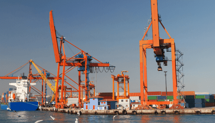
In the 1990s much of the country’s international trade shifted to Colombo port. Since then, the authorities have focussed on developing Galle as a recreational and tourist destination. The port’s strategic location is perfect for fishing, sailing and even scuba-diving.
Recently, the Galle Port Development Project has kickstarted, intending to build modern facilities for accommodating not only yachts but also passenger ships and larger vessels. It also aims to revamp the port’s infrastructure and build a breakwater for sheltering the entire Gulf of Galle.
4. Port of Trincomalee
Located on the northeastern shores of Sri Lanka, Trincomalee port has the second-largest natural harbour in the world and the deepest harbour in the entire South-East Asian region. It is ten times bigger than the port of Colombo capable of accommodating ships of any size in its anchorage area.
It is the only well-protected port in the South Asian subcontinent, hence its strategic geographical location, and relatively low congestion compared to other Sri Lankan ports, makes it a perfect facility for ship repair and maintenance. Trincomalee is also the closest Sri Lankan port for ships arriving from Eastern India and North Asia. The port has a long history dating back to the age of exploration and was held by the Portuguese, Dutch, French and British colonial powers. During the second world war, it was chosen as a base by the British Royal Navy.
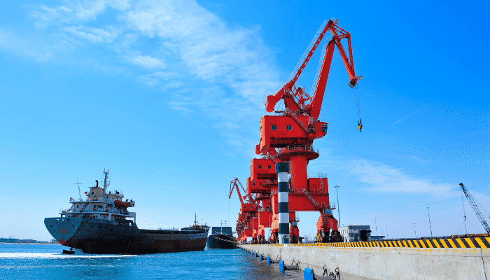
Trincomalee port handles exports of mineral sands and wheat bran and receives shipments of cement, petroleum goods and clinker. Approximately 160 ships pass through this facility annually. It has 2 multipurpose berths, a cement jetty and a petroleum jetty. Limited port equipment such as a mobile crane with a 7-ton lifting capacity and a forklift truck is utilised for loading and unloading operations.
A key bulk cargo port, it has witnessed reduced cargo traffic in recent years due to dilapidated infrastructure. It is now used for shipping local commodities and receives some bulk cargoes. Despite the availability of land resources and sufficient water depth, the government is unable to operate the facility at its full capacity. The Sri Lanka port authority has envisaged a port development plan for transforming it into a major seaport with an industrial region housing heavy industry, a luxury tourism zone and an agricultural processing unit. However, the government faces a debt crisis and has been on the lookout for potential investors.
5. Oluvil Port
The Oluvil port project was started in 2008 with the financial support of Denmark’s foreign ministry. The port would cater to the needs of the eastern region of Sri Lanka and was given priority under the Nagenahira Navodaya Programme which aimed to build economic infrastructure in the eastern part of the country.
It is being developed in stages and became operational in 2013 after the completion of the first stage. Presently it covers 148 acres of land area while the harbour basin spans 16 hectares and stretches 1.2 km along the coastline. It is divided into two main areas for handling general cargo ships and fishing vessels.
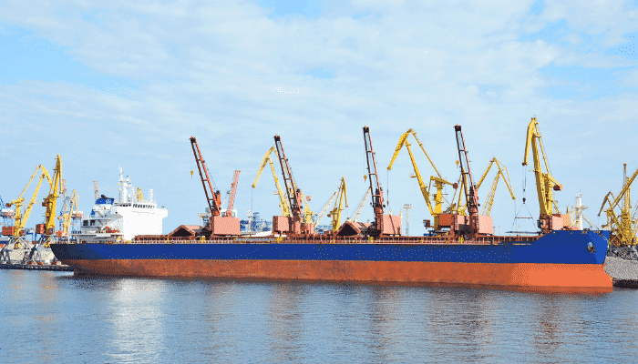
The commercial harbour has sufficient depth to accommodate ships weighing 5000 metric tonnes and 250 boats can be moored in the fishing harbour. In the second phase of expansion, the port would cover 259 acres with the construction of additional facilities such as storage areas, administrative buildings and a logistics centre. An additional passenger berth would be built to facilitate coastal passenger transport.
The port would cater to the cargoes originating on the western coast and function as an important component of the country’s chain of coastal harbours by providing more efficient, convenient and cost-effective access to Sri Lanka’s southeastern region.
You might also like to read:
- 7 Major Ports in Sweden
- 7 Major Ports in Malaysia
- 6 Major Ports in Finland
- Major Ports In Lebanon
- 6 Major Ports in the Bahamas
Disclaimer :
The information contained in this website is for general information purposes only. While we endeavour to keep the information up to date and correct, we make no representations or warranties of any kind, express or implied, about the completeness, accuracy, reliability, suitability or availability with respect to the website or the information, products, services, or related graphics contained on the website for any purpose. Any reliance you place on such information is therefore strictly at your own risk.
In no event will we be liable for any loss or damage including without limitation, indirect or consequential loss or damage, or any loss or damage whatsoever arising from loss of data or profits arising out of, or in connection with, the use of this website.
Do you have info to share with us ? Suggest a correction
Disclaimer :
The information contained in this website is for general information purposes only. While we endeavour to keep the information up to date and correct, we make no representations or warranties of any kind, express or implied, about the completeness, accuracy, reliability, suitability or availability with respect to the website or the information, products, services, or related graphics contained on the website for any purpose. Any reliance you place on such information is therefore strictly at your own risk.
In no event will we be liable for any loss or damage including without limitation, indirect or consequential loss or damage, or any loss or damage whatsoever arising from loss of data or profits arising out of, or in connection with, the use of this website.
Latest Maritime Knowledge Articles You Would Like:
Subscribe To Our Newsletters
By subscribing, you agree to our Privacy Policy and may receive occasional deal communications; you can unsubscribe anytime.


