

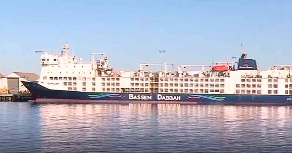
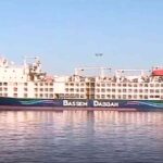
Watch: USCG Responds To Capsized Cargo Vessel ‘M/V Golden Ray’ In Brunswick, Georgia
At approximately 2 a.m., Coast Guard Sector Charleston watchstanders were notified by the Glynn County 911 dispatch that the M/V GOLDEN RAY had capsized in the St. Simons Sound. The watchstanders immediately issued an urgent marine information broadcast and directed the launch of multiple Coast Guard assets.
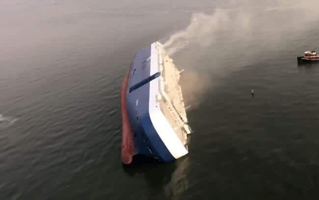
The vessel’s master and chief engineer are assisting authorities and salvage teams to develop plans to stabilize the vessel and continue rescue efforts. The GOLDEN RAY’s crew size is 23 people; there was one pilot aboard. 20 of the 24 people have been rescued.
Coast Guard units involved in the response:
- Two Coast Guard Station Brunswick Response Boat crews
- Two Coast Guard Air Station Savannah MH-65 Dolphin helicopter crews
- Coast Guard Cutter Heron launched to assist
- Coast Guard Sector Charleston
- Marine Safety Unit Savannah
- Coast Guard Salvage Engineering Response Team (SERT) launched to assist
The Port of Brunswick Captain of the Port (COTP) has established an emergency safety zone in St. Simons Sound. Vessels are not authorized within .5 miles of the M/V GOLDEN RAY, which is laid over on its side.
Also assisting in the response are the Georgia Department of Natural Resources, Moran Towing, SeaTow, Brunswick Bar Pilots Association, and the Glynn County Fire Department.
The cause of the incident is under investigation.
Reference: Tim Hunter – Youtube
NOTE: Marine Insight does not have enough information to verify this video and cannot vouch for its accuracy. This video is for information purpose only.
Marine Insight does not own the rights of the video.
Do you have info to share with us ? Suggest a correction
About Author
Marine Insight News Network is a premier source for up-to-date, comprehensive, and insightful coverage of the maritime industry. Dedicated to offering the latest news, trends, and analyses in shipping, marine technology, regulations, and global maritime affairs, Marine Insight News Network prides itself on delivering accurate, engaging, and relevant information.
Latest Videos Articles You Would Like:
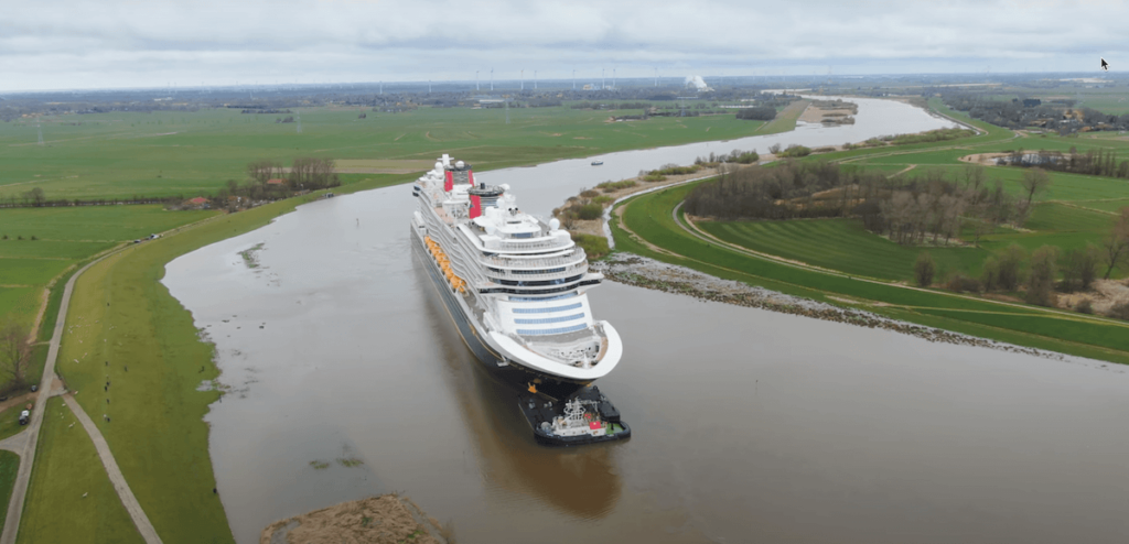


- Watch: Giant Disney Cruise Ship Maneuvers Through Impossibly Narrow River

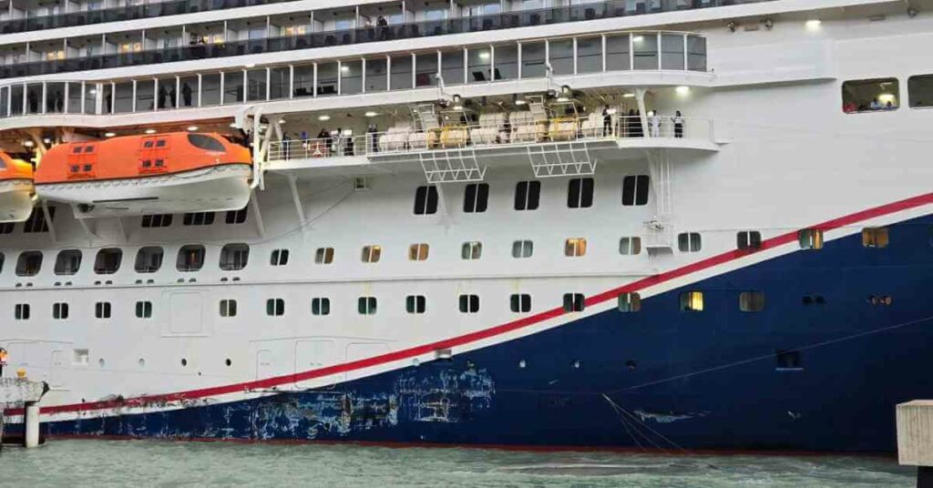
- Cruise Ship Damaged Due To Severe Weather, Passengers Stuck Abroad
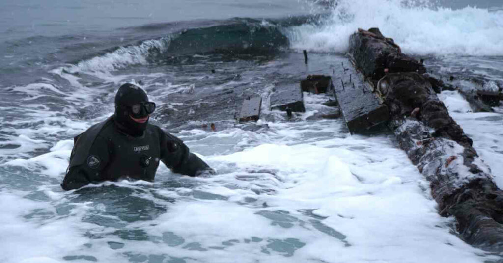
- Archaeologists Examine 19th-Century Shipwreck Found On Canadian Coast
- Australia Stops Livestock Ship From Sailing Around Africa To Israel Amidst Houthi Attacks
- Iran Warns U.S. Of Targeting Cargo Ships Following Latest Airstrikes On Houthis
- Watch: Ukrainian Forces Destroy Russian Missile Boat In Black Sea Operation


Subscribe To Our Newsletters
By subscribing, you agree to our Privacy Policy and may receive occasional deal communications; you can unsubscribe anytime.