

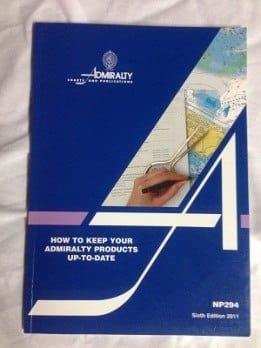
How Deck Officers Can Use NP 294 to Keep Admiralty Products Up-To-Date?
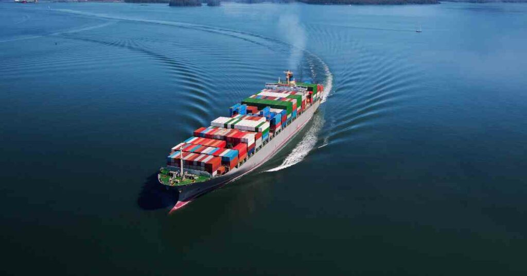
The publication numbered and widely recognized as NP 294 is a great aid for budding navigating officers as they take guard of their parallel rulers and start with passage planning through the remote corners of the world.
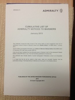
Published by the UKHO, the NP 294 publication provides clear and essential guidelines for upkeep and maintenance of navigation charts and publications that are in paper or digital format.
Supported by diagrammatic illustrations about various aspects of ship navigation this publication is a must read and an essential reference for all navigating officers involved in passage planning and also for those who are delegated navigation related duties.
With the advent of electronic navigation where digital charts and ECDIS are set to replace the paper charts soon, the NP 294’s sixth edition has been divided into two sections:
1. Paper Products
2. Digital products
The section 1 of the publication provide details about
- Ways to obtain admiralty notices to mariners from Admiralty chart agents via electronic courier service
- The information which is available from the weekly edition of notices to mariners
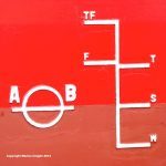
- The format of updating charts provided in Notices to Mariners. This section is supplemented with examples indicating description and meaning of each symbol used in notices to mariners

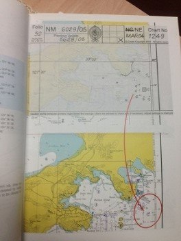
Information is provided for various types of corrections such as inserting a new voyage area, inserting a light, submarine cable, deleting lights, inserting fish havens ,racon, altering boundaries of charts, moving a buoy etc.
All these changes or corrections to charts are illustrated with the help of diagrammatic explanations which are of great use to novices or deck officers who are taking up immediate ranks of navigating officers.
Similar to guidelines for correcting Admiralty Notices to Mariners, the preceding chapters of the publication deal with ways of correcting various Admiralty Publications such as Admiralty list of lights and fog signals, Admiralty Sailing directions, Admiralty list of radio signals, Admiralty tide tables, Catalogue of Admiralty charts and publications etc.
Another important and interesting feature added to the admiralty Electronic navigational charts is admiralty information overlay. It contains navigational significant information which can be used in conjunction with ENCs to improve safety of navigation while using ECDIS. This publication also contains procedures for installing and updating admiralty overlays in addition to admiralty raster charts services.
This guide plays a vital role in educating navigating officers in keeping up pace with everyday developments in ways and means of correcting and sourcing paper and digital forms of charts and publications, with equal attention to procure and update both conventional paper charts and electronic charts.
Do you have info to share with us ? Suggest a correction

About Author
Abhishek Bhanawat is a chief officer who has worked on various types of tankers. He specializes in Crude Oil and Product Tankers. He is highly passionate about his work and loves to sail.
Latest Marine Navigation Articles You Would Like:


Subscribe To Our Newsletters
By subscribing, you agree to our Privacy Policy and may receive occasional deal communications; you can unsubscribe anytime.