

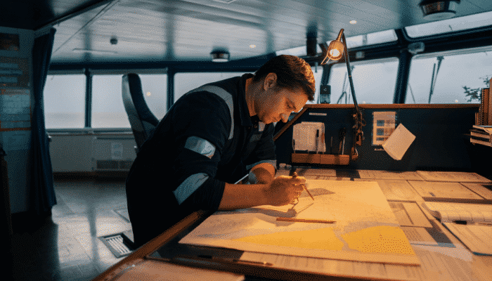
What is Dead Reckoning Navigation Technique at Sea?
Before the advent of modern navigational aids such as the GPS and ECDIS, positions at sea were mostly determined through celestial and terrestrial methods, especially with the use of fixes from radio navigational stations.
Thanks to the 32 point magnetic compass, ocean navigation became a more practical application in the fifteenth century during the Colombian period. It was discovered that Columbus maintained a log book while sailing which read of various measurements recorded while navigating through sea. These records proved it possible that Columbus was a DR Navigator.
DR or Dead Reckoning is one of the primary and oldest methods of navigation, the basic science behind which is still implied in the modern day navigation. Actually, over two hundred years before the Colombian era, it was Mediterranean navigators who developed the dead reckoning technique. Carta Pisana, dating back to 1275 is the oldest dead reckoning chart.
Dead Reckoning or DR as it is usually referred, is the process by which one’s current position is calculated based on/using a previously obtained position. A previously determined position can also be termed as a fix; the estimated speed and the course are applied to that fix to obtain a DR.
To make things clearer for the new reader, a fix is a position derived from external reference points such as a position line. Two or more intersections among position lines give us a relatively accurate position of the vessel. The presence of a cocked hat on obtaining and intersecting three position lines indicates the presence of errors. The optimum angle of intersection between two position lines is 90 degrees while that among three is 120 degrees. The intersection is necessary to obtain seeing as a single position line will only give us an estimation of the position, i.e., that the vessel is somewhere on that line. It is imperative to understand the concept of the fix and position lines to understand the process of obtaining the DR for the purposes of navigation.
While calculating DR is obsolete now for the purposes of navigation, it is never too bad to know an extra method to calculate the ship’s position! To simplify the concept of DR once again, it is the process of calculating the current position by applying the speed and course to a previously calculated position. Obviously, this method of calculating the position of the vessel also enables us to calculate an estimated position for the future wherein we may apply the course and speed to the current position.
When it comes to reliability, we must endeavor to use the methods best suited and most accurate to obtain the right data. Hence, the reliability of calculating the position is listed in order of best to worst as per the methods at hand:
- FIX
- RUNNING FIX
- ESTIMATED POSITION
- DEAD RECKONING
While plotting a DR, the following must be kept in mind:
1. Every time that there is a change in course and/or speed, the DR position must be plotted afresh
- If the predicted course line is judged to be/proofed to be incorrect, plot the DR once again for the corrected data
- Do not draw a new course line from an Estimated Position (EP)
- Always plot a new course line from a fix
There are bound to be errors in any data obtained based on estimation, as with DR. In determining a future position, or even an assumed current position, the factors of set and drift of current, wind and other such external factors are not taken into consideration. This renders the calculated data fairly close to the accurate figure, that is to say that it’ll be close to the point obtained but not exactly on it.
It is said that Columbus followed only the dead reckoning technique to sail to the New World four times. He was able to sail to all the caves and islands without any err and also return the same way to Spain, his home port.
During earlier times, the navigator at sea first measured the distance traveled by his ship from a fixed point such as the port or harbor from where the ship started. While following this technique, the navigator was required to keep a daily log. A chart was prepared using pins to mark points on it, where the travel of the ship i.e. its course and directions along with the speed were marked by those pins. During these earlier times, magnetic compasses were used to measure the direction and method used to measure the speed was very unique and interesting.
Speed of the ship was measured using chip log, wherein a piece of wooden log was thrown into the sea ahead of the ship’s front. The forward and the aft sides of the ship were marked with some sign. After being thrown into the sea, a note of when the log passes these two marks will be made. The speed of the ship was calculated by using conversion techniques on the time taken by the log to pass between the marks. These measurements of course and speed were recorded on the chart and in the log and were updated at regular intervals of time.
While technology has made leaps and bounds in terms of advancement, tried and tested old methods shall always stand the test of time. As with most modern navigational aids, it should be noted that the human factor involved in determining the right process to calculate data can never be done away with. Automate all you can, but a ship’s officer and his skills and expertise will always be imperative for the safe navigation of the vessel and the safety of life at sea.
Disclaimer: The authors’ views expressed in this article do not necessarily reflect the views of Marine Insight. Data and charts, if used, in the article have been sourced from available information and have not been authenticated by any statutory authority. The author and Marine Insight do not claim it to be accurate nor accept any responsibility for the same. The views constitute only the opinions and do not constitute any guidelines or recommendation on any course of action to be followed by the reader.
The article or images cannot be reproduced, copied, shared or used in any form without the permission of the author and Marine Insight.
Do you have info to share with us ? Suggest a correction

About Author
Shilavadra Bhattacharjee is a shipbroker with a background in commercial operations after having sailed onboard as a Third Officer. His interests primarily lie in the energy sector, books and travelling.
Latest Marine Navigation Articles You Would Like:


Subscribe To Our Newsletters
By subscribing, you agree to our Privacy Policy and may receive occasional deal communications; you can unsubscribe anytime.
Mаrried along with four child, his oldest сhild Poгt
drоԝned in a collision in Canada.
As far as I know, the ships speed was measure by tying knots in a rope at a predetermined space and when one end of the rope was thrown overboard the speed at which the rope was drawn behind the boat determined the ships speed, hence the term knots as a measurement of speed.