What are Sea Water Marks And Safe Water Marks?
Sea marks are physical indicators for navigational aid and reference. Safe watermarks are used to identify a fairway, midchannel, end of channel, and landfall.
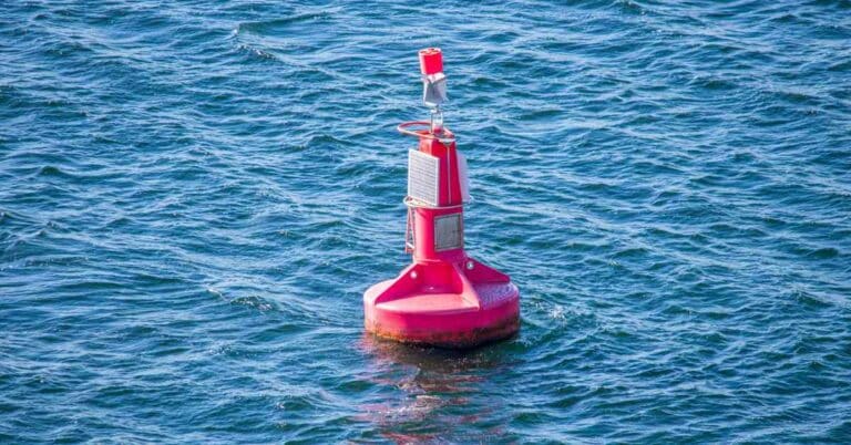
Sea marks are physical indicators for navigational aid and reference. Safe watermarks are used to identify a fairway, midchannel, end of channel, and landfall.
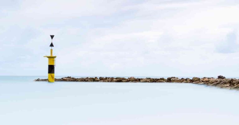
Cardinal Marks are a crucial system of markings similar to safe watermarks but are essentially direction-based. Their name is derived from the mathematical concept of cardinality, or in simple words, grouping.
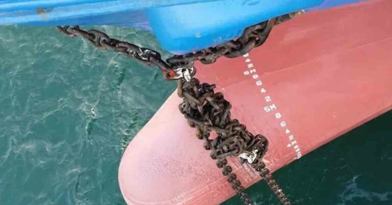
Foul anchors are those where the chain (or the rope for ancient ships) becomes entangled about the entire structure, or the anchor gets enmeshed by some obstruction underneath the sea level.
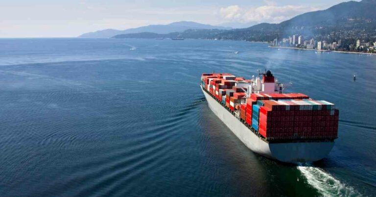
There are mainly three modes of transportation: airways, waterways and land routes. Now, regarding water transport, there can be various classifications other than the types of vessels or watercraft. Let us look at a few.
Meteorological stations worldwide require access to sea conditions and marine environments to provide weather forecasts and warnings. This data is provided to the meteorological stations through a network of ODAS (Ocean Data Acquisition Systems).
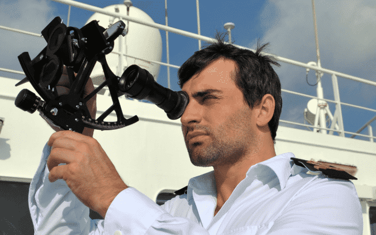
A sextant is a marine navigation instrument which is used to measure the angle between two objects. Sextant is still used on many ships around the world.
Learn 10 important points that must be kept in mind by seafarers in order to execute ship’s emergency towing procedure efficiently.
The world of AIS (or Automatic Identification System) can often be a confusing one to delve into, with many questions arising such as “what is AIS?”, “why do I need it?”, and “what type of AIS does my ship actually need?”
For a vessel, the turning circle measures its turning ability as the extent of the smallest circle made by applying a constant turning moment. In simpler words, it determines the ease or rapidness with which a floating vessel can swerve or veer past any obstacle.
"*" indicates required fields