

10 Facts Of Gulf Of Aden You Must Know
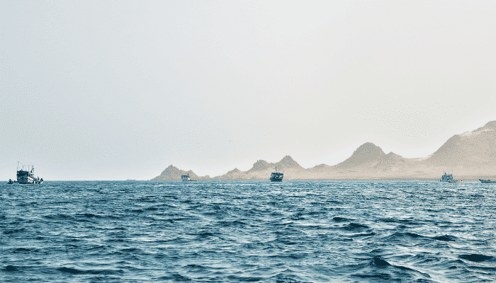
Tucked in between the African continent and the Arabian Peninsula lies the Gulf of Aden. It connects to the Red Sea in the West and the Arabian Sea in the East.
The countries that lie along its coastline include Yemen to the North, Somalia and Somaliland to the South, and Djibouti to the East. The Gulf is connected to the Red Sea via the straits of Bab el Mandeb.
In the West, it narrows into the Gulf of Tadjoura near Djibouti. It is demarcated from the Arabian Sea by the Horn of Africa and the Yemeni Socotra islands. The Guardafui channel near these islands is also linked to the Gulf of Aden.
The Gulf has had a long and exciting history, with numerous wars fought in the region. In this article, we will look at the many reasons why it plays a major role in the global economy. From trade and shipping to the piracy that plagues it, we cover every aspect of the Gulf that you should know.
1. The etymology behind the Gulf of Aden spans back to the early Greek era
While we know the Gulf of Aden by its modern name, this is a fairly new term given to it. Aden refers to the major port city on the coast of Yemen.
During the Greek conquests to Persia and the Indian subcontinent, the Gulf was discovered as a convenient route to access these regions.
The area was included in the Erythraean Sea along with the Gulf of Tadjoura and the Red Sea. Several small islands within the Gulf still bear colloquial versions of the Greek names given to them.
Conquerors such as Darius of Persia and Alexander the Great of Macedonia sailed this route, and maps from their era mentioned the Gulf as an extension of the Erythraean Sea.
Later, the major port city of Berbara in modern-day Somaliland became a hub for trade between the Arab nations, India and the Far-East, and Europe. This led to the Gulf being named the “Gulf of Berbara” by Arabic geographers and explorers such as Abu’l-Fida and Ibn Majid. Gradually, as Aden became the largest port on the coastline, the Gulf was renamed.
Even today, Berbara is a prominent harbour.
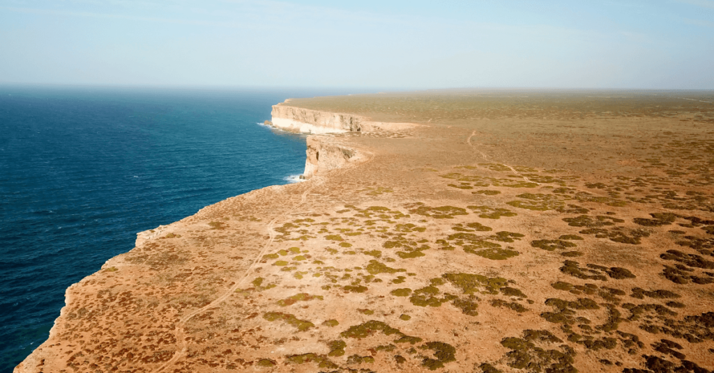
2. The Gulf of Aden is a shallow body of water spread over a large region
The geography of the Gulf of Aden differs from the surrounding topography in certain aspects. The average depth of the Gulf of Aden is around 500 meters, while the deepest point is 5.5 kilometres at the Alula Fartak Trench.
It is visible that despite such a deep underwater valley, the average depth is low, much like the neighbouring Red Sea (490 meters average depth). The main reason behind this is because the seabed of the Gulf was above the sea-level till a few million years ago. Over time with the rising water levels associated with the Ice Ages ending, the area was gradually submerged.
The seabed of the Gulf is dominated by the Sheba Ridge which runs along its length. As part of the Indian Ocean Ridge System that runs near the Arabian Sea, the ridge forms the backbone of many regional water bodies.
The neighbouring Red Sea has the Suakin Trough that also runs along its length. The deepest point in the Gulf (at Fartak), is part of the Ridge and is a continental fault. The surrounding basins have a depth of 3.9 kilometres and run along the Ridge.
As the Gulf narrows into the Tadjoura Trench, it becomes very shallow.
3. The Gulf of Aden lies within the territories of 3 different nations
The Gulf of Aden is majorly shared between 3 neighbouring nations- Djibouti to the East, Somalia to the South, and Yemen to the North. The Western front is open water demarcated by a continental shelf system. The Gulf spans over 410,000 square kilometres and is divided between these 3 nations on the basis of coastline length along the Gulf.
The Exclusive Economic Zones (EEZs) of these nations extend into the Gulf, and inter-governmental agreements have been drawn up to ensure the fair and legal division of the area. Somalia covers over 800,000 square km, with Yemen at just above 500,000 square km, and Djibouti at under 10,000 square km.
The Gulf is filled with numerous islands belonging to Yemen and Somalia. The islands near Djibouti are few since the region is very shallow. The Tadjoura Gulf is the main EEZ that belongs to Djibouti and is narrow.
Further North lies the Bab el Mandeb straits that lie between Djibouti and Yemen. This represents the North-West frontier of the Gulf of Aden. The Guardafui Channel, Socotra islands of Yemen, and the Somali Puntland form the Western Front of the Gulf of Aden.
4. The Gulf of Aden is considered to be an extension of the Red Sea, but has demarcated boundaries
The Gulf of Aden was viewed for several centuries as an extension of the Red Sea, beginning from the time of ancient Greek and Roman voyagers.
Prior to this by several millions of years, the Bab el Mandeb used to be wider, and both bodies of water were considered as one. However, with constant sedimentation and silt deposits on the coastline as the water currents turned at the straits, the landmass grew while the water connection became narrower.
The official geographic and hydrographic boundary placed on the Gulf of Aden is as follows:
- East – the Arabian Sea, coupled with the Kuria Muria continental shelf near Yemen,
- North West – The line joining Husn Murad to the North and Ras Siyyan to the East,
- West – The entrance to the Gulf of Tadjoura between Obock and Lawyacado.
The hydrography of the Gulf of Aden is different in some aspects to the neighbouring Red Sea. The average annual temperature is lower, usually ranging between 28⁰C in summer to 15⁰C in winter.
The exact temperature is heavily dependent on the arrival of the monsoon season in the region. The rate of evaporation is an estimated 210 centimetres annually, resulting in a slightly elevated salinity. The oxygen content generally ranges between 4.0 to 5.0 milligrams/litre.
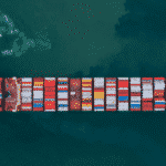
5. The Gulf was and continues to be a major global trade route
From the times of the Greeks and Romans who sailed to the East to expand their domains, the Gulf of Aden has played a major role in global trade and history as we know it.
It was the route taken by Arab and African traders to India and the Far East. Before that, the ancient Egyptians also sailed the Gulf as part of an expansion. This included trade mainly with India and Han China.
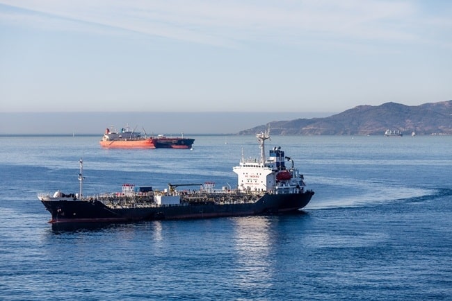
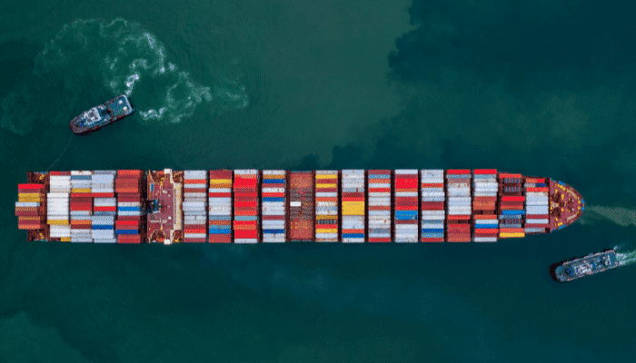
There are an estimated 21,000 ships passing through the Gulf annually, making it one of the busiest bodies of water. The main commodity here is oil from the Persian Gulf region.
In fact, an estimated 11% of seaborne petroleum passes through the Gulf of Aden en route to the Mediterranean or Arabian Seas. There also refineries along the coastline that process this oil.
Certain nations have large volumes of trade in the region. For instance, countries in Europe and the Americas purchase oil from countries along the Gulf such as Saudi Arabia.
India annually ships around USD 50 billion in imports and USD 60 billion in exports through the Gulf. For this reason, both nations have naval crafts deployed in the region to provide safe passage to their respective vessels.
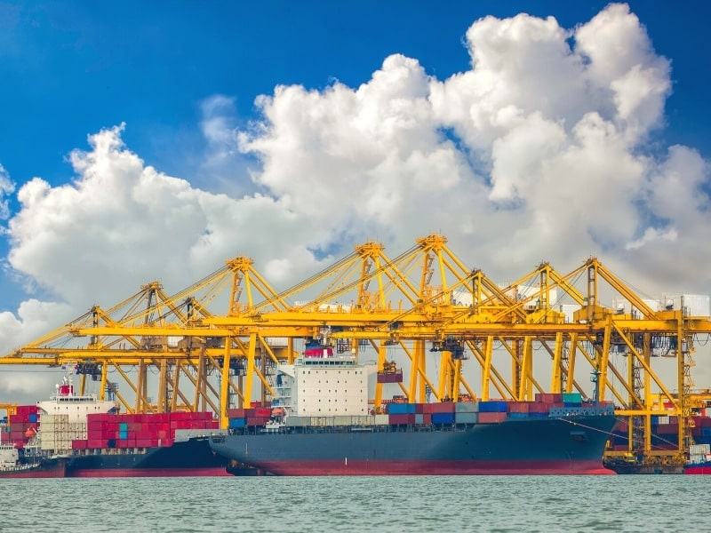
6. There are several major ports along the Gulf that result in large trade volumes
The port of Aden in Yemen is a major harbour along the North of the Gulf’s coastline. Since the early 2010s, Aden has become the de facto capital of Yemen owing to civil strife. A large volume of oil and general cargo is shipped annually through Aden. There is also a separate container facility known as ACT, and a refinery terminal nearby.
There are other large ports along the Northern Gulf coastline, including Zinjibar, Shuqrah, Mukalla, and Ahwar in Yemen. Ras Isa Oil Terminal is another port that is partly owned by the Hunt Oil Group (based out of Texas) and is connected to the Marib Oil Fields.
Al Hodeidah is close to Ras Isa Harbor and is a hub of humanitarian aid shipments to Yemen. It also handles smaller container vessels and grain vessels. Al Makha is another major port that specializes in large coffee exports.
In fact, the world-famous Mocha coffee comes from the region surrounding Al Makha Harbor, hence the name. Other ports are Saleef, Ahwar, and Ma’alla (which is now known as the Aden World Port Zone).
Further South-West lies Djibouti harbour on the Gulf of Tadjoura. Djibouti port is well-known as a refuelling and bunkering harbour that services vessels plying along the busy route.
It is also known as a transhipment hub, with numerous companies running operations out of the port. The port also acts as an import and export harbour for Ethiopia which accounts for nearly 70% of cargo thoroughfare.
Further East of Djibouti lies Somalia and the self-declared independent region of Somaliland. The major ports in this region are Berbara in Somaliland, and Bosaso in Somalia. Berbara was a major port and served as the capital of the British protectorate of Hargeisa.
Bosaso lies in the Bari province and is the commercial capital of the autonomous Puntland region.
7. The average salinity in the Gulf is much less than the neighbouring Red Sea
Compared to the neighbouring Red Sea, the Gulf of Aden has a lower saline content. The salinity ranges between 35.5‰ along the coastlines to 37.3‰ at the centre.
On the other hand, the Red Sea has an average salinity of over 40‰. Note, the unit or symbol “‰” indicates per mille, or parts per thousand.
The conversion to the standard percentage is by reducing a factor of 10. So, the salinity in the Gulf of Aden ranges between 3.55% and 3.73% PSUs (Practical Salinity Units).
So why does this difference in salinity exist despite being connected to bodies of water? The answer to this is the currents and weather pattern in the Gulf.
While the Red Sea is closed in on all sides with only the Suez Canal and the Bab el Mandeb straits for circulation, the Gulf has a much wider set of inlets and outlets.
Water flows via the Mandeb straits into the Gulf and reduces the impact of the high evaporation rate (over 200 cms annually). Moreover, currents are created by the wide opening to the Arabian Sea, ensuring that the effects of evaporation are not felt. Lastly, there is a much higher rate of precipitation in the Gulf’s region.
Some of the factors that affect salinity in the Gulf are the monsoon winds and sea currents. The constant circulation prevents the salt content from drastically increasing. It is interesting to note that the water’s surface has a higher salinity than its depths. This is mainly due to sub-surface currents that create circulation below the surface.
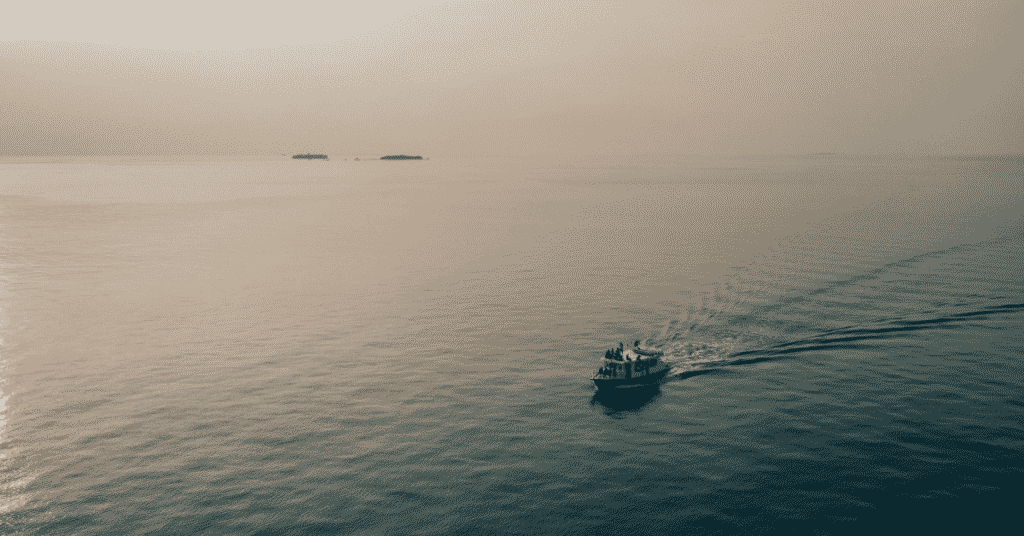
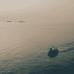
8. Unfortunately, the Gulf of Aden is a hotbed for piracy and related incidents
Despite being a busy and thriving trade route for vessels across the globe, not all regions of the Gulf of Aden are safe or easily accessible.
Piracy has been a major concern for nations that send ships via this route since the 2000s, and it is only recently that there has been a significant decline in these occurrences. Piracy has mainly originated from Somalia and affects the Gulf of Aden, the Guardafui Channel, the islands near Socotra, and the Somali Sea.
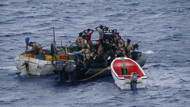
Post the 2000 collapse of the Somalian government, there were cases of rampant illegal fishing by foreign vessels. Without the protection of their territorial waters by the disbanded Somalian Navy, coastal villages took to arms to keep their areas protected.
However, this turned into a lucrative venture, with ransoms bringing in enormous amounts of wealth into the nation. Very soon, this region became a hotbed for piracy and hijackings. Over time, the level of technology and planning with which these hijackings have taken place has been a cause for concern.
Some significant hijackings in the region include:
- The murder of a Chinese sailor in the late 2000s because ransom demands were not met. This led to the United Nations adopting a resolution that allowed and authorized nations that sailed in the region to collaborate and “repress acts of piracy”. This was over and beyond the absolute embargo on Somalia.
- By late 2008, the hijackings began to spread outside the Gulf of Aden and encompassed larger vessels. The Indian Navy received UN authorization to conduct anti-piracy operations freely in the region.
- The Maersk Alabama was hijacked by 4 Somali pirates, which led to a stand-off with the United States Naval forces. Ultimately, the vessel was freed and the captain taken hostage was released. This hijacking of a large vessel that was carrying relief aid to Somalia created public awareness of the dangers of sailing to the region.
- Thereafter, international efforts against piracy rapidly increased, with more successful operations by naval forces. Russian Special Forces freed an oil tanker in 2010, the Navy SEALs of Korea rescued a Maltese chemical carrier, and the Indian Navy captured multiple pirate motherships over the years.
- After a lull of almost 5 years, the Aris 13 Tanker was hijacked en route to Mogadishu from Djibouti in 2017. The hijacking occurred off the Somali coast, and the crew were released a few days later.
9. Owing to piracy, the Gulf has struggled to overtake the Cape of Good Hope in terms of cargo and passenger thoroughfare
There are 2 major routes for shipping between the Western and Eastern hemispheres:
- The Suez route, between the Mediterranean and Arabian Seas, via the Suez Canal, the Red Sea, and the Gulf of Aden.
- The Cape of Good Hope route, between the Southern Atlantic and Indian Oceans, via the Southernmost tip of Africa.
In most cases, the Cape route is much longer for ships. However, the period from 2003 – 2015 saw an increase in the number of shipping carriers preferring this route over the Suez route.
This was attributed to the rise in piracy-related incidents on the Somali coast. This severely impacted global supply chains and logistics, since vessels now had to account for a much longer journey. This also led to inevitable delays in the delivery of goods over the world.
The major source of piracy that shifted trade routes originated from the Southern conflict areas of Somalia. This was rampant until the formation of the Puntland Maritime Police Force (PMPF) to prevent hijackings.
The estimated cost to the global economy from piracy was over USD 58 million in 2009, and then a drastic increase to USD 238 million in 2010. However, this reduced to USD 160 million in 2011, following extensive anti-piracy operations.
The loss to Egypt due to the lack of trade along the Suez coast cost approximately USD 642 million in 2010. The overall cost of piracy, including insurance, protection forces, legal matters, reroutes, and insurance came to around USD 6.9 billion as per a study by the Oceans Beyond Piracy (OBP) organization.
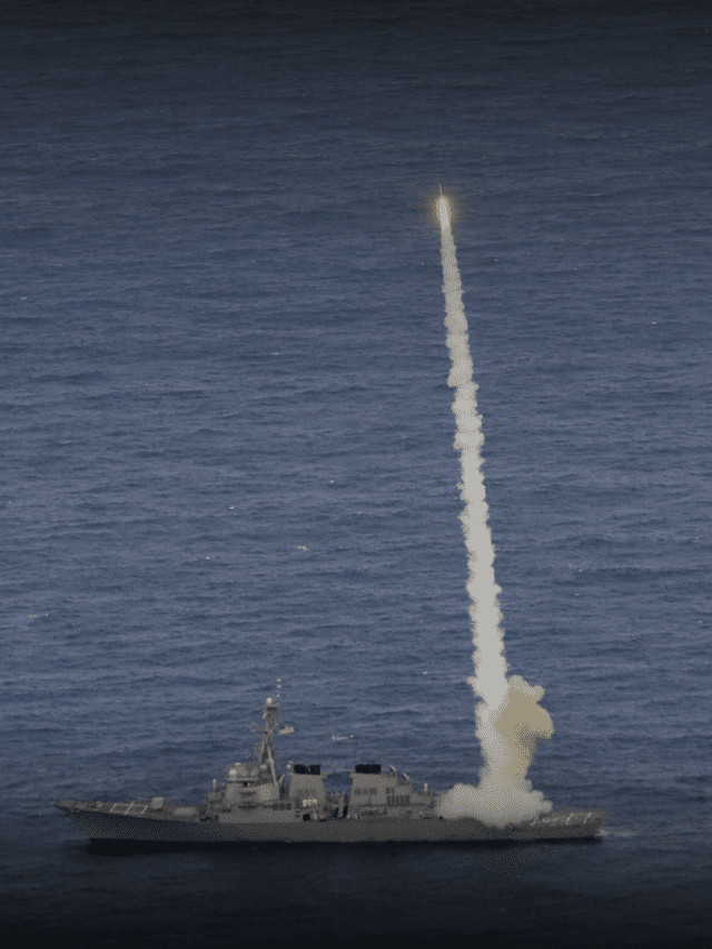
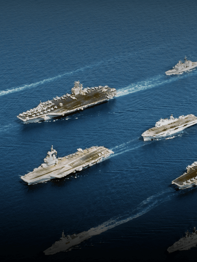
10. There is a global coalition of 33 countries that coordinate the efforts against piracy in this region!
With acts of piracy and hijackings on the rise, the United Nations Security Council was forced to step in and authorize some nations to deploy their warships in the region.
The Somalian Navy was disbanded following the second phase of the civil war, and this left the entire region open to piracy. It started with the UN allowing India and a few other countries that plied in the area to deploy warships under the UN Peacekeeping Force.
Combined Task Force 150 (CTF-150) was designated as the regional coalition task force intended to enforce law and order. It was originally a US Naval Command that operated in the Horn of Africa post 9/11. The command was transitioned from the US to Germany for the coalition forces in 2002.
The major members are Australia, Canada, Denmark, France, Pakistan, Japan, Germany, the UK, and the US. Several other nations have also deployed their warships with CTF-150 including India, Netherlands, Spain, and Turkey. The headquarters of the CTF is in the Middle-Eastern island nation of Bahrain, under the Combined Maritime Force (CMF), which is a 33-member nation coalition.
Over the past several years, CTF-150 has captured, arrested, and handed over countless pirates to the Somali coast guard. Large caches of weapons and drugs have also been seized during smuggling operations. Under UN laws, the Force has permission to execute a Visit, Board, Search, and Seize (VBSS) operation in order to maintain maritime peace in the area.
You might also like to read:
- 10 Caspian Sea Facts You Must Know
- 10 Gulf Of Mexico Facts You Must Know
- 10 Interesting Facts About The Straits Of Gibraltar
- 5 Strait of Magellan Facts You Must Know
- 6 Bosphorus Strait Facts You Must Know
Disclaimer: The authors’ views expressed in this article do not necessarily reflect the views of Marine Insight. Data and charts, if used, in the article have been sourced from available information and have not been authenticated by any statutory authority. The author and Marine Insight do not claim it to be accurate nor accept any responsibility for the same. The views constitute only the opinions and do not constitute any guidelines or recommendation on any course of action to be followed by the reader.
The article or images cannot be reproduced, copied, shared or used in any form without the permission of the author and Marine Insight.
Do you have info to share with us ? Suggest a correction
Latest Maritime Knowledge Articles You Would Like:


Subscribe To Our Newsletters
By subscribing, you agree to our Privacy Policy and may receive occasional deal communications; you can unsubscribe anytime.
Web Stories

About Author
Ajay Menon is a graduate of the Indian Institute of Technology, Kharagpur, with an integrated major in Ocean Engineering and Naval Architecture. Besides writing, he balances chess and works out tunes on his keyboard during his free time.