10 Laptev Sea Facts You Might Not Know
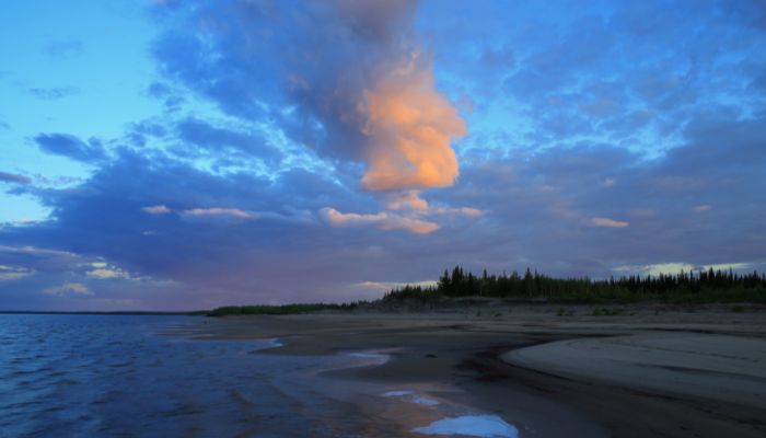
The Laptev Sea is a marginal water body of the mighty Arctic Ocean. From the south, it is surrounded by the northern shores of Siberia, the Taimyr Penisula and the Severnaya Zemlya Archipelago to the west, and the New Siberian islands to the east.
Its northern border crosses the Arctic Cape and goes to the Anisiy Cape. Another marginal sea of the Arctic, the Kara, is situated to its west, while the eastern side is close to the East Siberian Sea. The Sannikov and Ditrya Lapteva Strait connect it to the latter.
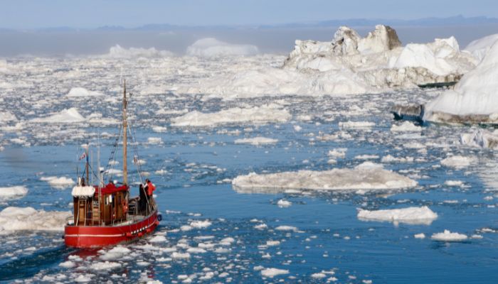
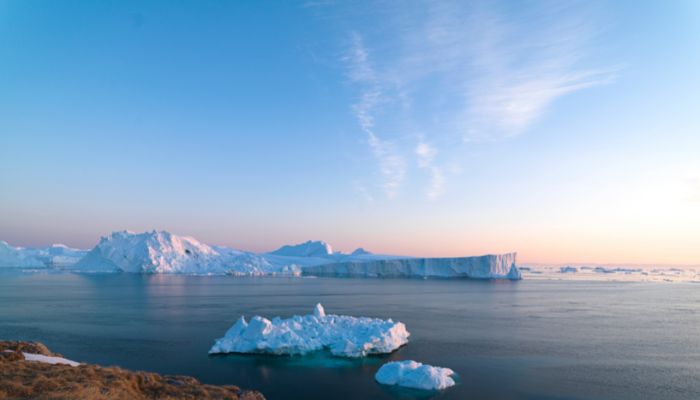
Talking about its size, the sea is comparatively tiny and has freezing temperatures all year. It even snows here in summer, while heavy snowfall, snowstorms and blizzards characterise winters.
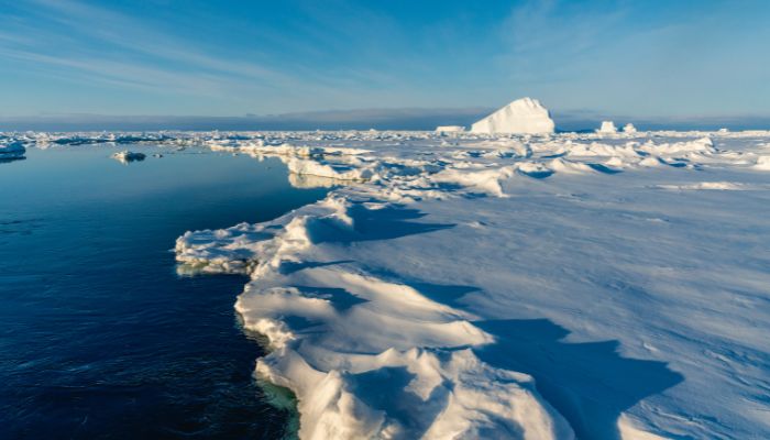
Though rugged and harsh, it is essential for the Arctic ecosystem. It also houses many tundra flora and fauna. The sea ice is critical as it reflects the sunlight into space, regulates the planet’s temperature and aids in ocean water circulations across the globe.
Let us explore some unknown facts about the Laptev Sea in this article.
1. Laptev Sea is relatively shallow, given its size
The Laptev sea spans 270,000 square miles and is located within the continental shelf. Hence it has a maximum depth of 3385 metres, while the average depth of its waters is 578 metres. Its deepest point lies at 11,106 feet. Most of the sea is relatively shallow, and about fifty per cent is less than 50% deep.
The sea is close to the North Pole and remains frozen for most of the year. It begins to freeze by October end and starts to thaw when it gets a little warmer. Since it lies north of one of the coldest regions, i.e. Siberia, it is often called the Birthplace of ice, as most of the Arctic sea ice comes from the freezing waters in the Laptev Sea.
Research estimates that the average outflow of ice between 1979 and 1995 was about 483,000 square kilometres. Hence, the Laptev Sea contributes more ice to the Arctic Ocean than the Chukchi, East Siberian, Kara and Barents Seas combined.
2. Laptev Sea waters have low levels of salinity
The waters of the Laptev sea have deficient levels of salinity. It is not so salty compared to the other oceans and seas. The reason behind this is the low evaporation rate due to the freezing temperature and melting ice caps drifting from the sea to the Arctic. This phenomenon dilutes the salinity of its waters. The other reason is the inflow of freshwater from many rivers.
3. Lena is the biggest river that flows into the Laptev Sea
One of the greatest Siberian rivers and the 11th longest in the world, the Lena is the easternmost river that grains into the Arctic Ocean. The other two big rivers include the Ob and the Yenisey. The catchment area is continuous, and over 70% is covered by permafrost.
The longest river in Russia, it is also the Russian Arctic region 2nd largest river, the first being the Yenisei.
Apart from Lena, many other rivers flow into the Laptev sea from Russia and Siberia, such as the Yana, Olenyok, Anabar, Khatanga, Omoloy etc.
4. It has an indented coastline dotted with many gulfs, bays and islands
The shoreline of the Laptev Sea is quite indented and winding in many places. It also has many bays, inlets and island groups of different sizes. The most critical bays include the Bay of Yana, Maria Pronchishchea, Khatanga gulf, Olenyok and the Buor-Khaya Gulf.
The coastal area has a diverse topography with small hills, smooth mountain peaks and a few valley areas.
The sea has a dozen islands covering an area of about 3784 square kilometres. They are found in the western part of the Laptev sea and the delta of rivers.
The islands are eroded when the ice thaws, and there are storms and strong currents. Two islands, the Semenovsky and Vasilievsky, were founded in 1815 but have already disappeared due to this erosion.
The other significant island groups are the Faddey, Vilkitsky, Severnaya Zemlya, and Komsomolskaya Pravda. The biggest individual islands are the 1764 square kilometres long Bolshoy Begichev, Maly Taymyr, Stolbovoy, Starokadomsky island, and the smallest one, Peschanyy, which spans only 17 square kilometres.
These islands are covered with tundra, and the Great Arctic State Reserve of Russia protects their wildlife.
5. The Sea was named after two Russian explorers
The sea was first explored by two Russians, namely Dmitry Laptev and Khariton Laptev, after whose name it was called the Laptev Sea. This name was given to the sea in 1935. Before this, it was called the Nordenskiold Sea.
However, it was renamed in honour of these two cousin brothers who undertook important expeditions to this region and explored erstwhile unexplored lands in the 18th century, stretching as far as the Taimyr peninsula, which later helped map the area.
At different times, it was also known as the Tatar Sea, the Lena, the Siberian Sea, and the Icy Sea.
6. It has been inhabited since ancient times
The coasts of the Laptev Sea have been dotted with many tribal settlements since ancient times. The earliest inhabitants are said to be the native Chuvans and Yukhagir tribes of North Siberia. Later, Evenks and Yakuts also came, fleeing the atrocity of the Mongols.
These tribal groups had distinct cultures and traditions, which intermingled, creating a melting pot of culture, tradition and cuisine. They engaged in hunting, fishing and rearing reindeer for survival in the harsh climate.
Russians began to explore the sea and its islands in the 17th century by sending expeditions. One of the earliest was sent in 1712 and included two arctic explorers, Yakov Permyakov and Merkury Vagin, whose explorations were restricted to the east coast. However, they later discovered the Bolshoy-Lakhovsky island.
In the famous Great Northern Expedition, Dmitri and Khariton Laptev surveyed significant parts of the sea and its coasts. Hence, the sea was named after them to honour their contributions on 27th June 1935.
7. Experiences an extremely harsh continental climate
The Laptev Sea waters are cold. It has a sharp and rough environment with average temperatures ranging between -31° to -34°Celsius. It can also go down to as low as -50°C in January, which is the coldest month.
Winters face heavy snowfall, snowstorms, blizzards and strong winds. In July, the temperature rises slightly in the southern portion and goes as high as 6 degrees Celsius. The northern part of the sea remains just above the freezing point in that month.
Maximum temperatures along the sea coasts are between 22 to -24 degree celsius. The summers are short and snowy as well. Since it is one of the coldest water bodies of the Arctic, it is also called the Birthplace of ice.
In summer, a thin upper layer warms above the freezing point while the lower layers are frozen. This leads to a rise in the sea level by 41 cm close to river deltas. Additionally, the warm river waters also increase the temperature of the Laptev sea in this period. Apart from August and September, the sea remains covered with ice throughout the year.
8. Tiksi is a major port on the Laptev Sea
Although the Laptev Sea is harsh and remains frozen most times, navigation is possible. Tiksi is a major port on its coast. It lies in the Buunsky Ulus of the Sakha Republic. Essential items such as timber, fur and other construction materials are exported from this port. Tiksi also had an airport and to the west was the Nordik harbour, an expanding town through the 1940s sparsely populated it.
During the Soviet era, the coastal areas of the Laptev sea engaged in trade with the coming of icebreakers traversing the Northern sea route.
After the decline of the Soviet Union, commercial shipping in the Siberian Arctic region declined. Regular shipping routes include Murmansk to Dudinka from the west and Vladivostok and Pevek towards the east. A port town called Logashkino was abandoned in 1998 and is now a ghost town.
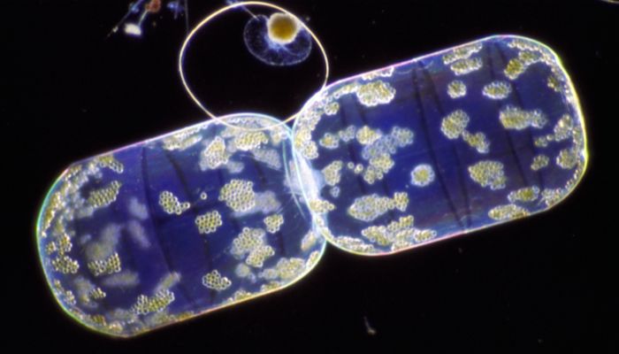
9. Home to over 100 diatoms and 30 zooplankton species
Diatoms and zooplankton dominate the Laptev Sea flora since sea plants cannot survive in freezing temperatures. Over 39 fish species are also found, including the Coregonus, omul, sardines, sturgeons, flounder, saffron cod etc.
Various seabird colonies live along its steep shores, including the snowy owl, brent goose, purple sandpiper, little auk, northern fulmar and so on. The floating ice is home to marine mammals such as the ringed, bearded and harp seals, polar bears, lemming, arctic hare, walruses, reindeer, arctic foxes, wolves and ermine.
The Ust-Lena Nature Reserve, established in 1985, covers 14,330 square kilometres and has 402 plants, 32 fish species, over 100 bird species and 33 mammals.
10. Among all Arctic seas, Laptev sea has the highest phenol concentration
The sea experiences low levels of pollution, but it is not negligible. The mines cause it, and numerous oil refining plants near the Lena and Anabar rivers. The garbage from these plants is contaminated with phenols, copper and other harmful substances that come downstream with the rivers and drain into the sea.
The coastal settlement and essential port of Tiksi also contribute to pollution. There are petrol spills sometimes due to accidents and petrol mining. Sunken wood and floating logs from old boats can also be seen in the waters.
You may also like to read-
- 10 Kara Sea Facts You Must Know
- 6 Causes Of Sewage Pollution In The Ocean
- 10 Marine Biome Facts You Must Know
- 10 Types Of Ocean Pollution
Disclaimer: The authors’ views expressed in this article do not necessarily reflect the views of Marine Insight. Data and charts, if used, in the article have been sourced from available information and have not been authenticated by any statutory authority. The author and Marine Insight do not claim it to be accurate nor accept any responsibility for the same. The views constitute only the opinions and do not constitute any guidelines or recommendations on any course of action to be followed by the reader.
The article or images cannot be reproduced, copied, shared, or used in any form without the permission of the author and Marine Insight.
Do you have info to share with us ? Suggest a correction

About Author
Zahra is an alumna of Miranda House, University of Delhi. She is an avid writer, possessing immaculate research and editing skills. Author of several academic papers, she has also worked as a freelance writer, producing many technical, creative and marketing pieces. A true aesthete at heart, she loves books a little more than anything else.
Subscribe To Our Newsletters
By subscribing, you agree to our Privacy Policy and may receive occasional deal communications; you can unsubscribe anytime.


