

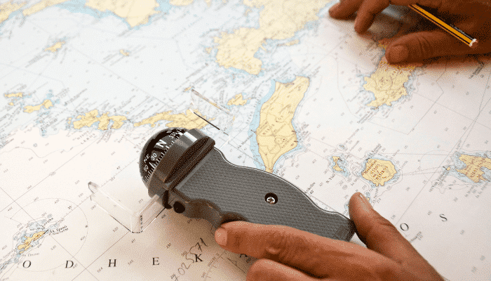
Introduction to Nautical Charts – What Replaced Fathom Charts?
Other than the previous classifications based on the origin of charts there are additional type, some of which have been phased out with time. When a vessel approaches a port/ harbor in the U.S. or Canadian territory or while transiting through the Gulf of California, Mississippi river one comes across a different type of charts known as Fathom Charts. These types of charts are also found for some Islands of Indonesia and while Transiting Sunda Straits.
Fathom is a unit used to express feet. Fathom charts indicate depths in fathom and feet. They use a different style of color coding from metric charts though the symbols remains the same. For e.g. the land is shown in grey color on fathom charts. Most of these charts were known to cover regions spread widely across the globe but gradually around 80 % of them have been phased out since 1998. Yet passing under bridges while approaching ports in the United States a navigator has to convert the maximum height of his ship in feet to ascertain safe clearance as the fathom charts are in use.

What replaced fathom charts then?
Post 1998 metric charts were introduced and a system was established to reproduce their updated editions and corrections in metric form only. They depicted depths in meters. For representation of various features important to navigation different colors are used. For e. g. land is shown in yellow color, reefs in green color, Racon, Pilot station, and Traffic separation schemes in magenta color.
Reverting back to 1998, many trade routes and ocean passages through the major water bodies were covered by superimposing decca lattice on navigational charts and these charts were known as Decca Charts.
Similarly navigational charts superimposed with Loran – C lattice were known as Loran C Charts. For the ease of navigation on routes which have been frequented again and again over times by merchant ships, Admiralty came up with Routeing Charts. As the name suggests they provide vital information such as recommended seasonal tracks, distances between ports and bunkering ports, meteorological data, ice data, ocean currents, and load line zones at a glance. This information is available on a monthly basis as these charts are published for each month of the year.
Most of the navigational charts are based on Mercator projections. On these charts Equator and other parallels of latitude appear as horizontal parallel straight lines. For great circle sailing Gnomonic charts are being published so they can aid a navigator in determining shortest possible distance between 2 points. They cover the Atlantic, Pacific and Indian Ocean. Polar Regions too can be represented on gnomonic charts which otherwise can’t be on Mercator charts. For star identification and position fixing, Admiralty has also published Star charts and star diagrams. These charts used in conjunction with navigation formulae are used to take star sights, star identification and position fixing methods.
For busy traffic areas such as the Dover straits, Singapore and Malacca straits, Danish straits Admiralty has published Reference charts which represent the Traffic separation schemes and its constituents such as anchorages, precautionary zones, inshore traffic zones, radio reporting requirements and navigational warnings. These charts can be used as reference charts while planning passage through the areas they detail.
Admiralty has also introduced a digital representation of paper charts to be used with an electronic navigational system at sea. They are a digital representation of paper charts and are also known as Admiralty Raster Chart Service (ARCS), thus retaining the same clarity and accuracy.
An ECDIS electronic chart display and information system onboard can be set up in ARCS mode to use these charts. ENC stands for Electronic Navigational Charts which can be regarded as an intelligent navigation system database using internationally ratified symbols and format, in conjunction with a display and processing unit, can be used as an aid to navigation. Whenever this system complies with the requirements stated in SOLAS Regulation V/20 it can be used as an Electronic Chart Display and Information system (ECDIS) thus becoming equivalent to an up to date chart folio system.
Do you have info to share with us ? Suggest a correction

About Author
Abhishek Bhanawat is a chief officer who has worked on various types of tankers. He specializes in Crude Oil and Product Tankers. He is highly passionate about his work and loves to sail.
Latest Marine Navigation Articles You Would Like:


Subscribe To Our Newsletters
By subscribing, you agree to our Privacy Policy and may receive occasional deal communications; you can unsubscribe anytime.
Web Stories

Hello,
My name is Chris. I live in Langhorne, PA. I’ve had Vintage Fathom Maps in my family for quite sometime now. I’m wondering where best to communicate their availability for sale. I don’t have a sense of their value. Where do I start?
Regards,
Chris