

Introduction to Nautical Charts – Types of Navigation Charts Based on Origin
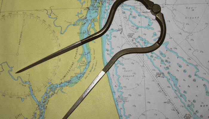
Second mates on ships are often seen engrossed with drawing lines and working on those multi colored, thick bundles of sheets kept nicely stowed in canvass covers in various shelves in wheelhouse or Navigational Bridge.
Few have even wondered how a trivial task such as drawing courses on those sheets can make him so engrossed with his work. The fact is those conglomerations are popularly known as Charts and they happen to be the lifeline of ship navigation.
One cannot imagine navigation without charts. They are classified on the basis of the regions where they are printed, published, and updated or because of regional hydrographic offices controlling generation, assimilation and update of information concerning them.
The United Kingdom Hydrographic Office (UKHO) is the major organization dealing with upkeep of charts and numerous nautical publications. The Hydrographer of the Navy in United Kingdom is under the command of Admiralty – an administrative authority commanding the Royal Navy. Of their various functions one is to gather information in the form of hydrographic data, scrutinize it carefully, update it and broadcast the contemplated data in the form of paper charts, electronic charts and several allied publications.
A series of diagrammatic representation and index showing geographical limits of charts is provided in The Catalogue of Admiralty charts and Publications (NP 131). These publications have various regions of world into folios, which contain further detailed charts for those regions.
Broadly these charts are classified into two sections namely
- The large scale
- The small scale
These charts contain addresses of hydrographic offices and agencies where Admiralty and other charts are available.
Small scale charts
Small scale charts shows overall details such as light vessels, light floats, lanbys, territorial waters and land separating adjoining countries, obstructions, shoals, reefs, buoys and fog signals .As the name suggests they represent a vast stretch of an area on a small scale thus representing macroscopic features of the same. For e.g. there are small scale charts for the Pacific ocean , South china sea , the Atlantic ocean , the Caribbean sea etc. These charts are preferentially used as reference charts for planning routes and plotting courses, and from there on courses could be transferred to large scale charts. They are best suited to provide a general overview of passage.
Large scale charts
Large scale charts are broader in terms of details and provide a much extensive representation of an area depicting the features, landmarks, harbors, and coastlines along with other important details. Differentiating fundamentally, the scale or the ratio of area displayed to actual area is considerably bigger than a small scale chart.
An area covered by a small scale chart can be split further into 10 , 20 or 30 large scale charts showing features such as full details and characteristics of principal lights and fog signals , light vessels , light houses , aids to navigations , leading lights , directional buoys , channel buoys , refineries , terminals , docks etc. For e.g. on a small scale chart a principle lighthouse or light is marked with the help of a symbol whereas on a large scale chart along with the mark further details such as range, height, luminous range and characteristics of the same are provided.
Though the UKHO covers expansive stretch of the ocean regions and ports, certain ports of the world remain uncovered by the Admiralty charts for those regions the local hydrographic offices prepare foreign charts using the internationally prevailing standard chart symbols and abbreviations. These charts also named as Foreign Charts are managed and kept updated using similar system to the Admiralty. They are usually available at national agencies at larger ports or designated hydrographic offices.
Another range of charts, which are also a part of Admiralty charts, are known as Australian and New Zealand Charts. These charts are kept updated by hydrographic offices located in New Zealand and Australia. Though published under the name of Admiralty they still carry their Australian and New Zealand Chart numbers. A comprehensive list for Australian and New Zealand charts can be obtained from the catalogues published by Australian and New Zealand hydrographic offices. They invariably cover regions surrounding Australia, New Zealand, Islands of Macquarie, and extend to Antarctica.
Japanese charts are also published by the Admiralty under similar arrangement. They too are being updated on the basis of information broadcasted by Japanese Hydrographic offices. However, the detailed list of charts in the Japanese folio can be found in the Admiralty chart catalogue and their corrections are provided in both Admiralty Notices to Mariners and Japanese charts as well.
There are two types of Japanese charts – One with Prefix ‘W’ and other with JP. For e.g. A chart printed as W 90 would contain information written in 2 languages – Japanese and English , the color of land is grey in this chart whereas a chart printed JP 90 would contain information in English only and color of land printed would be yellow. Japanese charts are available with British Admiralty and Japanese hydrographic offices as well.
For Canadian and US waters as per the Code of Federal Regulations and Canadian charts and publications regulations, vessels navigating in certain specific regions are required to maintain and keep updated only Canadian and US charts.
Though being from different Hydrographic offices Charts have uniformity in the form of symbols and abbreviations, which have been recommended internationally and used globally, enabling mariners to plan passages using extensive information they require about distant ports across the oceans.
Do you have info to share with us ? Suggest a correction

About Author
Abhishek Bhanawat is a chief officer who has worked on various types of tankers. He specializes in Crude Oil and Product Tankers. He is highly passionate about his work and loves to sail.
Latest Marine Navigation Articles You Would Like:


Subscribe To Our Newsletters
By subscribing, you agree to our Privacy Policy and may receive occasional deal communications; you can unsubscribe anytime.
what is the duration of printing charts? how long will it take the validity of the printed nautical chart? Thank You.
What types of charts are used in port and Harbour ??
Large scale charts are used in Ports and harbours.