

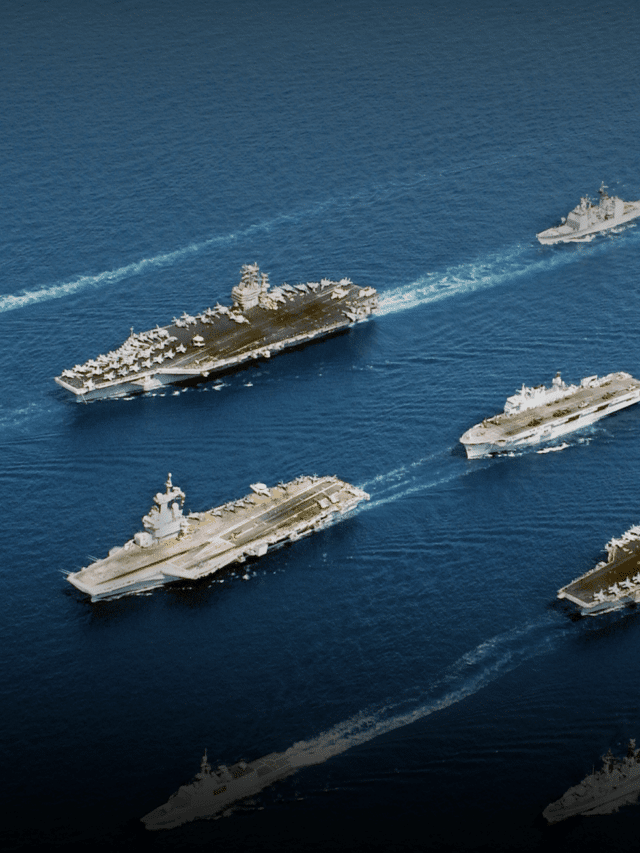
What Marine Communication Systems Are Used in the Maritime Industry?
Radio telecommunication at sea had undergone a sea change in the last century. After the days of semaphores and flags (which is still relevant today in some cases), radio brought about a drastic change in marine communication at sea.
From the early years of the last century, ships started fitting radio for communicating distress signals among themselves and with the shore. Radio telegraphy using Morse code was used in the early part of the twentieth century for marine communication.
In the seventies, after considering the studies of the International Telecommunication Union, IMO brought about a system where ship-to-ship or ship-to-shore communication was put into action with some degree of automation, wherein a skilled radio officer keeping 24×7 watch was not required.
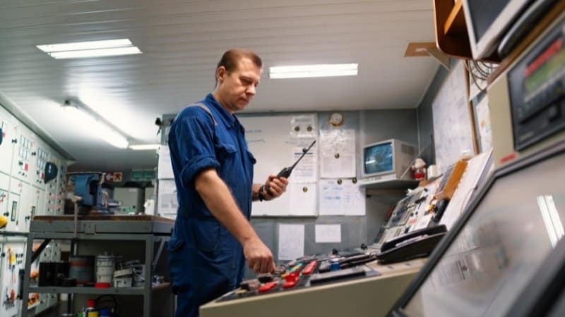
Marine communication between ships or with the shore was carried with the help of on board systems through shore stations and even satellites. While ship-to-ship communication was brought about by VHF radio, Digital Selective Calling (DSC) came up with digitally remote control commands to transmit or receive distress alert, urgent or safety calls, or routine priority messages. DSC controllers can now be integrated with the VHF radio as per SOLAS (Safety Of Life at Sea) convention.
Satellite services, as opposed to terrestrial communication systems, need the help of geo-stationary satellites for transmitting and receiving signals, where the range of shore stations cannot reach. These marine communication services are provided by INMARSAT (a commercial company) and COSPAS – SARSAT (a multi-national government funded agency).
While INMARSAT gives the scope of two way communications, the Corpas Sarsat has a system that is limited to reception of signals from emergency position and places with no facilities of two way marine communications, indicating radio beacons (EPIRB).
For international operational requirements, the Global Maritime Distress Safety System (GMDSS) has divided the world in four sub areas. These are four geographical divisions named as A1, A2, A3 and A4.
Different radio communication systems are required by the vessel to be carried on board ships, depending on the area of operation of that particular vessel.
A1 – It’s about 20- 30 nautical miles from the coast, which is under coverage of at least one VHF coast radio station in which continuous DSC alerting is available. Equipment used: A VHF, a DSC and a NAVTEX receiver (a navigational telex for receiving maritime and meteorological information).
A2 – This area notionally should cover 400 nautical miles off shore but in practice it extends up to 100 nautical miles off shore but this should exclude A1 areas. Equipment used: A DSC, and radio telephone (MF radio range) plus the equipment required for A1 areas.
A3 – This is the area excluding the A1 & A2 areas. But the coverage is within 70 degrees north and 70 degree south latitude and is within INMARSAT geostationary satellite range, where continuous alerting is available. Equipment used: A high frequency radio and/ or INMARSAT, a system of receiving MSI (Maritime Safety Information) plus the other remaining systems for A1 and A2 areas.
A4 – These are the areas outside sea areas of A1, A2 and A3. These are essentially the Polar Regions North and South of 70 degree of latitude. Equipment used: HF radio service plus those required for other areas.
All oceans are covered by HF marine communication services for which the IMO requires to have two coast stations per ocean region. Today almost all ships are fitted with satellite terminal for Ship Security Alerts System (SSAS) and for long range identification and tracking as per SOLAS requirements.
On distress, Search and Rescue operations from Maritime Rescue Co-ordination centers are carried out among other methods, with the help of most of these marine navigation tools. Naturally, the sea has become a lot safer with these gadgets and other important navigation tools recommended by the IMO and as enshrined in GMDSS.
More Important Articles on Maritime Communication and Navigation
- Marine Navigation System and Electronic Tools Used By Ship’s Pilot
- Why is BNWAS important on modern ships?
- 8 Maritime Systems Which Ensure Ship’s Safety and Security
- What is Integrated Bridge System?
- What are SSB Radios?
Do you have info to share with us ? Suggest a correction
Latest Marine Navigation Articles You Would Like:


Subscribe To Our Newsletters
By subscribing, you agree to our Privacy Policy and may receive occasional deal communications; you can unsubscribe anytime.
Web Stories

hello Mr. Amitava good to find some one from Kolkata and that too from Kokata Port. I am a ship chandler at Kolkata Port and would love to meet you soon.My H/P:9836117661.
I appreciate your post. I liked reading the content you provided. I hope your website continues to publish content like these. Thank You!